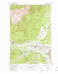
1953 Map of Rochester
USGS Topo · Published 1980About this map
The Black Hills dominate the northern terrain of this mid-century survey, rising to summits at Capitol Peak and Larch Mtn. This upland landscape gives way to the unique glacial topography of Mima Prairie and the broad alluvial plains of the Chehalis River. The region's transport and social fabric are defined by a complex network of rail lines, including the Northern Pacific, the Union Pacific, and the Chicago Milwaukee St Paul and Pacific, which converge near settlements like Rochester and Gate.
Find a feature on this map
62 named features on this map. Tap any name to fly to it.
Don’t see what you’re looking for? This feature index may not catch every label — zoom into the map to look around manually.
Map Details
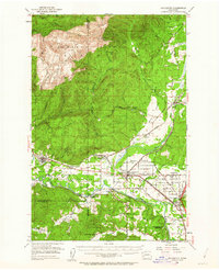
Editions of this 1953 Rochester Map
3 editions found

Other maps of this area

1916 · Chehalis
USGS Topo · 1:125,000

1937 · Olympia
USGS Topo · 1:62,500

1939 · Shelton
USGS Topo · 1:62,500

1940 · Tenino
USGS Topo · 1:62,500

1941 · Walville
USGS Topo · 1:62,500

1941 · Meskill
USGS Topo · 1:62,500

1941 · Gate
USGS Topo · 1:62,500

1941 · Ford
USGS Topo · 1:62,500

1943 · Nahwatzel Lake
USGS Topo · 1:62,500

1944 · Tenino
USGS Topo · 1:62,500