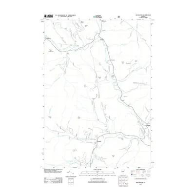
2012 Map of Rochester
USGS Topo · Published 2012About this map
The White River valley carves through the Green Mountains in this 2012 survey, framing a network of small settlements and mountain peaks. Communities like Talcville, Robinson, and Stockbridge follow the river's winding path, while higher elevations are defined by landmarks such as Little Wilcox Peak and Mount Reeder. This period shows a landscape balanced between traditional mountain agriculture and modern recreation, evidenced by the White River Golf Course and the Trail Head Winter Sports Area near Pittsfield. Genealogists will find a wealth of burial records across the quadrangle, with locations including Woodlawn Cem, Angell Cem, and the Village Cem near the local post office. Forestry and conservation efforts are highlighted by the Red Spruce Seed Production Area and sections of National Forest 228, which dominate the rugged western slopes and protect the headwaters of Perkins Brook and Corporation Brook.
Find a feature on this map
90 named features on this map. Tap any name to fly to it.
Don’t see what you’re looking for? This feature index may not catch every label — zoom into the map to look around manually.
Map Details
Editions of this 2012 Rochester Map
This is the sole edition of this map. No revisions or reprints were ever made.
Other maps of this area

1891 · Rutland
USGS Topo · 1:62,500

1893 · Rutland
USGS Topo · 1:62,500

1911 · Woodstock
USGS Topo · 1:62,500

1913 · Woodstock
USGS Topo · 1:62,500

1915 · Rochester
USGS Topo · 1:62,500

1917 · Rochester
USGS Topo · 1:62,500

1919 · Royalton
USGS Topo · 1:62,500

1924 · Randolph
USGS Topo · 1:48,000

1926 · Randolph
USGS Topo · 1:62,500

1943 · Woodstock
USGS Topo · 1:62,500