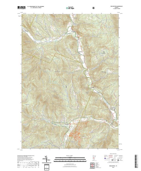
2024 Map of Rochester
USGS Topo · Published 2024About this map
Rochester serves as a central hub in this modern survey of the Green Mountain National Forest, where the mountain landscape is deeply carved by the White River and its numerous tributaries. The geography reveals a network of high peaks like Wilcox Peak and Austin Hill, which separate the valley settlements of Talcville, Emerson, and Pittsfield. Family-named landmarks and small burial grounds, such as the Betsy Bartlett Grave and Parmenter Cem, are scattered throughout the winding river valleys, providing a dense record of local land ownership and lineage.
Find a feature on this map
65 named features on this map. Tap any name to fly to it.
Don’t see what you’re looking for? This feature index may not catch every label — zoom into the map to look around manually.
Map Details
Editions of this 2024 Rochester Map
This is the sole edition of this map. No revisions or reprints were ever made.
Other maps of this area

1891 · Rutland
USGS Topo · 1:62,500

1893 · Rutland
USGS Topo · 1:62,500

1911 · Woodstock
USGS Topo · 1:62,500

1913 · Woodstock
USGS Topo · 1:62,500

1915 · Rochester
USGS Topo · 1:62,500

1917 · Rochester
USGS Topo · 1:62,500

1919 · Royalton
USGS Topo · 1:62,500

1924 · Randolph
USGS Topo · 1:48,000

1926 · Randolph
USGS Topo · 1:62,500

1943 · Woodstock
USGS Topo · 1:62,500