Loading...
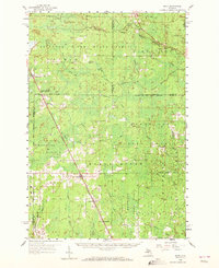
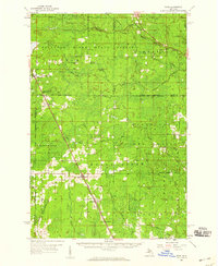
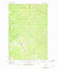
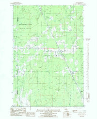
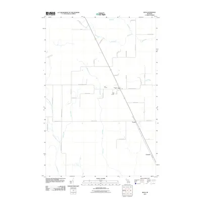
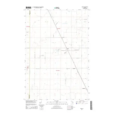
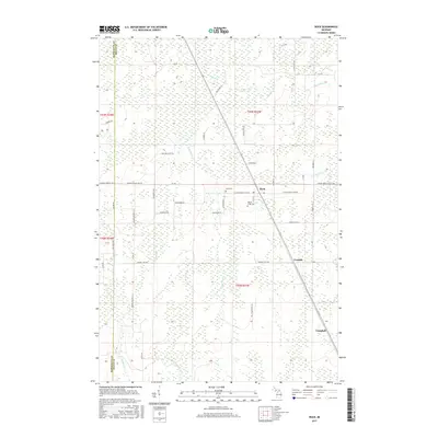
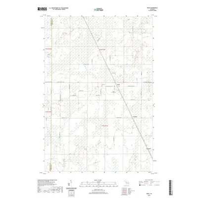
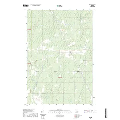
Loading map...1958 Map of Rock
USGS Topo · Published 1972About this map
Maple Ridge and the central Upper Peninsula landscape are defined here by a dense network of timberlands and small rail-side settlements in the late 1950s. The Chicago and Northwestern railroad serves as the primary spine of the region, connecting towns like Rock, Lathrop, and McFarland. These communities, often centered around the railway, supported the surrounding logging and agricultural activities within the Escanaba River State Forest and Menominee State Forest.
Find a feature on this map
41 named features on this map. Tap any name to fly to it.
Don’t see what you’re looking for? This feature index may not catch every label — zoom into the map to look around manually.
Map Details
Date Portrayed1958
Date Published1972
PublisherU.S. Geological Survey
Map TypeTopographic
Scale1:62,500
Physical Dimensions17 x 20.8 inches
Editions of this 1958 Rock Map
3 editions found
Historical Maps of Forsyth Township Through Time
7 maps found
Featured Locations
- Baldwin Township, MI
- Turin Township, MI
- Ewing Township, MI
- Forsyth Township, MI
- Campbell, Maple Ridge Township
Source Details
SourceU.S. Geological Survey
CopyrightPublic Domain