
1932 Map of Rock NE
USGS Topo · Published 1932About this map
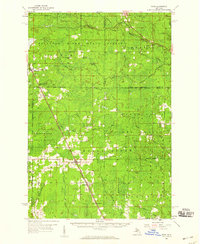
Logging and transit networks define this 1932 study of the borderlands between Alger and Delta Counties. The landscape is dominated by the sprawling timber interests of Maple Ridge and Limestone, where numerous specialized outposts like Mantula Camp, Suomi Camp, and Albert Johnson Camp are linked by a network of specialized routes, including Branch Road and various unnamed logging roads. These camps represent the seasonal industrial rhythm of the Upper Peninsula before more permanent stabilization occurred.
Find a feature on this map
27 named features on this map. Tap any name to fly to it.
Don’t see what you’re looking for? This feature index may not catch every label — zoom into the map to look around manually.
Map Details
Editions of this 1932 Rock NE Map
This is the sole edition of this map. No revisions or reprints were ever made.
Other maps of this area

1932 · Skandia SW
USGS Topo · 1:31,680

1932 · Rock SW
USGS Topo · 1:31,680

1932 · Trenary SW
USGS Topo · 1:31,680

1932 · Skandia SE
USGS Topo · 1:31,680

1932 · Rock SE
USGS Topo · 1:31,680

1932 · Rock NW
USGS Topo · 1:31,680

1958 · Trenary
USGS Topo · 1:62,500

1958 · Au Train
USGS Topo · 1:62,500

1958 · Skandia
USGS Topo · 1:62,500
1958 · Rock
USGS Topo · 1:62,500