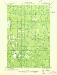
1932 Map of Rock NW
USGS Topo · Published 1932About this map
The timber and rail landscape of the Upper Peninsula is frozen in time during the early 1930s, defined by a dense network of logging camps and rural outposts. The Chicago and Northwestern railroad cuts a sharp diagonal through the terrain, serving as the primary artery for local commerce and connecting the settlements of Lathrop and McFarland. These small hubs, alongside Larsons Spur, were vital transit points in an area dominated by seasonal work and resource extraction.
Find a feature on this map
29 named features on this map. Tap any name to fly to it.
Don’t see what you’re looking for? This feature index may not catch every label — zoom into the map to look around manually.
Map Details
Editions of this 1932 Rock NW Map
This is the sole edition of this map. No revisions or reprints were ever made.
Other maps of this area
1932 · Skandia SW
USGS Topo · 1:31,680
1932 · Rock SW
USGS Topo · 1:31,680
1932 · Helena NE
USGS Topo · 1:31,680
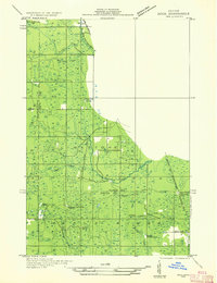
1932 · Rock NE
USGS Topo · 1:31,680
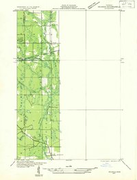
1932 · Skandia SE
USGS Topo · 1:31,680
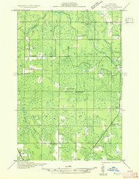
1932 · Rock SE
USGS Topo · 1:31,680
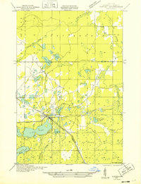
1932 · Harvey SE
USGS Topo · 1:31,680
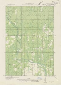
1932 · Helena
USGS Topo · 1:31,680
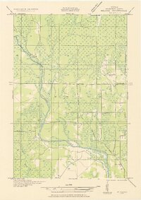
1951 · Helena
USGS Topo · 1:31,680
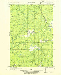
1951 · Helena NE
USGS Topo · 1:31,680