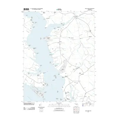
2011 Map of Rock Point
USGS Topo · Published 2011About this map
The Wicomico River and the Potomac River converge in this coastal Maryland survey, defining a landscape shaped by tidal inlets and deep-rooted colonial-era settlements. Near the head of Chaptico Bay, the community of Chaptico remains a focal point with its Chaptico Post Office and the historic grounds of Christ Church Cemetery. Further south, the peninsula transitions into recreation and maritime life, from the summer retreats at Longview Beach to the aviation strips of Nyce Airport and Squier Landing Airport.
Find a feature on this map
188 named features on this map. Tap any name to fly to it.
Don’t see what you’re looking for? This feature index may not catch every label — zoom into the map to look around manually.
Map Details
Editions of this 2011 Rock Point Map
This is the sole edition of this map. No revisions or reprints were ever made.
Other maps of this area

1892 · Leonardtown
USGS Topo · 1:62,500

1892 · Piney Point
USGS Topo · 1:62,500

1892 · Montross
USGS Topo · 1:62,500

1894 · Wicomico
USGS Topo · 1:62,500

1894 · Piney Point
USGS Topo · 1:62,500

1895 · Wicomico
USGS Topo · 1:62,500

1895 · Leonardtown
USGS Topo · 1:62,500

1895 · Nomini
USGS Topo · 1:125,000

1895 · Piney Point
USGS Topo · 1:62,500

1895 · Montross
USGS Topo · 1:62,500