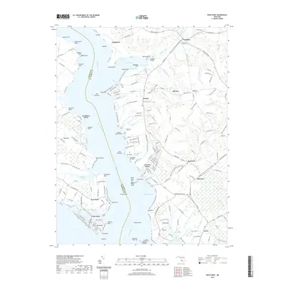
2019 Map of Rock Point
USGS Topo · Published 2019About this map
The Wicomico River carves a deep boundary between Charles and St. Mary’s Counties in this coastal survey, where the peninsula's geography is defined by a dense network of points and bars. Landings and small settlements like Indiantown, Chaptico, and Bushwood are scattered across the neck, connected by winding rural roads that lead to the water's edge. At the southern tip, Cobb Island sits separated from the mainland by Neale Sound, its residential grid established near Cobb Point and Shipping Point.
Find a feature on this map
197 named features on this map. Tap any name to fly to it.
Don’t see what you’re looking for? This feature index may not catch every label — zoom into the map to look around manually.
Map Details
Editions of this 2019 Rock Point Map
This is the sole edition of this map. No revisions or reprints were ever made.
Other maps of this area

1892 · Leonardtown
USGS Topo · 1:62,500

1892 · Piney Point
USGS Topo · 1:62,500

1892 · Montross
USGS Topo · 1:62,500

1894 · Wicomico
USGS Topo · 1:62,500

1894 · Piney Point
USGS Topo · 1:62,500

1895 · Wicomico
USGS Topo · 1:62,500

1895 · Leonardtown
USGS Topo · 1:62,500

1895 · Nomini
USGS Topo · 1:125,000

1895 · Piney Point
USGS Topo · 1:62,500

1895 · Montross
USGS Topo · 1:62,500