2023 Map of Rock Point
USGS Topo · Published 2023About this map
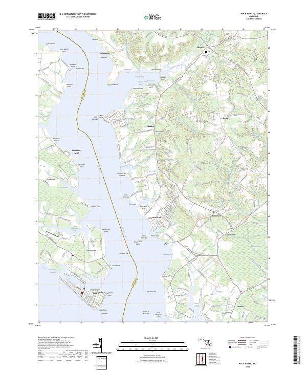
Cobb Island and the surrounding Potomac River tributaries define this coastal landscape at the border of Charles and St. Mary's counties. The Wicomico River serves as the central artery, separating the western neck near Rock Point from the eastern settlements of Longview Beach and Bushwood. This modern survey illustrates the enduring settlement patterns of Southern Maryland, where small communities like Chaptico and Maddox are connected by narrow roads winding through marshes and along inlets like Chaptico Bay.
Find a feature on this map
190 named features on this map. Tap any name to fly to it.
Don’t see what you’re looking for? This feature index may not catch every label — zoom into the map to look around manually.
Map Details
Editions of this 2023 Rock Point Map
This is the sole edition of this map. No revisions or reprints were ever made.
