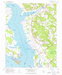
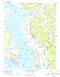
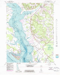
1943 Map of Rock Point
USGS Topo · Published 1943About this map
The Wicomico River carves a deep path through the Southern Maryland landscape, separating Charles and St. Marys Counties during this mid-century period. The western shore is dominated by the established waterfront community of Rock Point, where Neale Sound and Cobb Island form a distinct maritime corridor leading to the Potomac River. Inland on the eastern shore, the topography is shaped by a dense network of tidal runs and creeks, including Chaptico Run and Tomakokin Creek, which give rise to agricultural and religious hubs like Chaptico and Avenue.
Find a feature on this map
71 named features on this map. Tap any name to fly to it.
Don’t see what you’re looking for? This feature index may not catch every label — zoom into the map to look around manually.
Map Details
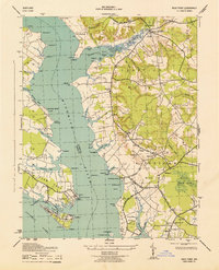
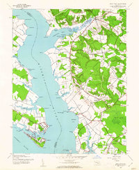
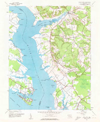
Editions of this 1943 Rock Point Map
6 editions found
Other maps of this area

1892 · Leonardtown
USGS Topo · 1:62,500

1892 · Piney Point
USGS Topo · 1:62,500

1892 · Montross
USGS Topo · 1:62,500

1894 · Wicomico
USGS Topo · 1:62,500

1894 · Piney Point
USGS Topo · 1:62,500

1895 · Wicomico
USGS Topo · 1:62,500

1895 · Leonardtown
USGS Topo · 1:62,500

1895 · Nomini
USGS Topo · 1:125,000

1895 · Piney Point
USGS Topo · 1:62,500

1895 · Montross
USGS Topo · 1:62,500