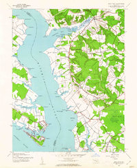
1943 Map of Rock Point
USGS Topo · Published 1962About this map
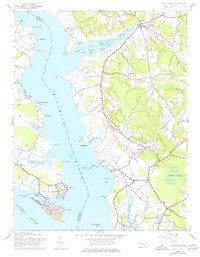
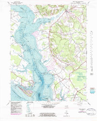
Wicomico River dominates this mid-century survey, dividing the waterfronts of St. Marys and Charles Counties in southern Maryland. The landscape is defined by its deep maritime geography, where settlements like Chaptico and Bushwood sit tucked behind protective points and coves. To the south, Cobb Island is a focal point of development, connected to the mainland near Rock Point and the Neale Sound channel. The interior is a mixture of cleared farmland and dense woods, punctuated by small rural communities like Hurry and Maddox. For the local historian, the map preserves the exact locations of social centers such as Christ Ch, Fenwick Sch, and Our Lady of the Wayside Ch. The detailed mapping of various "necks" and "points," from Whites Neck to Tennyson Pt, illustrates the traditional importance of water access for this tidewater region.
Find a feature on this map
72 named features on this map. Tap any name to fly to it.
Don’t see what you’re looking for? This feature index may not catch every label — zoom into the map to look around manually.
Map Details
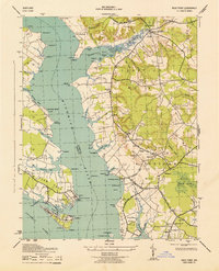
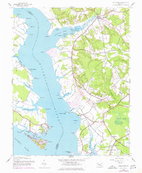
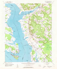
Editions of this 1943 Rock Point Map
6 editions found
Other maps of this area

1892 · Leonardtown
USGS Topo · 1:62,500

1892 · Piney Point
USGS Topo · 1:62,500

1892 · Montross
USGS Topo · 1:62,500

1894 · Wicomico
USGS Topo · 1:62,500

1894 · Piney Point
USGS Topo · 1:62,500

1895 · Wicomico
USGS Topo · 1:62,500

1895 · Leonardtown
USGS Topo · 1:62,500

1895 · Nomini
USGS Topo · 1:125,000

1895 · Piney Point
USGS Topo · 1:62,500

1895 · Montross
USGS Topo · 1:62,500