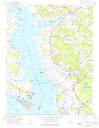
1943 Map of Rock Point
USGS Topo · Published 1977About this map
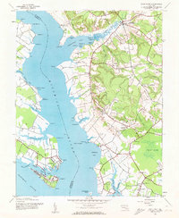
The Wicomico River carves a wide path through the tidewater landscape of southern Maryland, separating the riverine peninsulas of Charles and St. Marys counties. At the southern tip, Cobb Island sits prominently at the confluence with the Potomac River, linked to the mainland near the settlement of Rock Point. This 1943 topography, updated with revisions in the 1970s, captures a deeply established rural and maritime community organized around small villages and landing points like Bushwood and Chaptico.
Find a feature on this map
75 named features on this map. Tap any name to fly to it.
Don’t see what you’re looking for? This feature index may not catch every label — zoom into the map to look around manually.
Map Details
Editions of this 1943 Rock Point Map
6 editions found
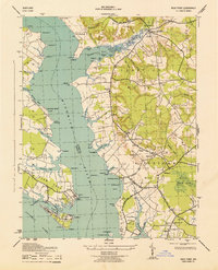
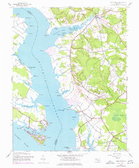
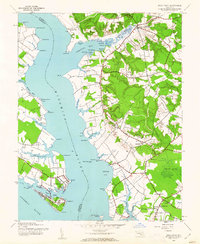

Other maps of this area

1892 · Leonardtown
USGS Topo · 1:62,500

1892 · Piney Point
USGS Topo · 1:62,500

1892 · Montross
USGS Topo · 1:62,500

1894 · Wicomico
USGS Topo · 1:62,500

1894 · Piney Point
USGS Topo · 1:62,500

1895 · Wicomico
USGS Topo · 1:62,500

1895 · Leonardtown
USGS Topo · 1:62,500

1895 · Nomini
USGS Topo · 1:125,000

1895 · Piney Point
USGS Topo · 1:62,500

1895 · Montross
USGS Topo · 1:62,500