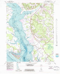
1943 Map of Rock Point
USGS Topo · Published 1983About this map
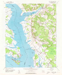
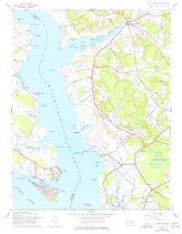
Cobb Island and the residential community of Rock Point dominate the southern shoreline where the Wicomico River meets the Potomac River. This coastal landscape in southern Maryland is defined by its deep estuaries and narrow necks of land, such as Whites Neck, which separates Bushwood Cove from the Wicomico River. The 1940s topographic survey, updated in the mid-1970s, captures the distribution of rural life along the tidewater, featuring numerous historic houses of worship like Sacred Heart Ch near Avenue and Our Lady of the Wayside Ch in Chaptico.
Find a feature on this map
69 named features on this map. Tap any name to fly to it.
Don’t see what you’re looking for? This feature index may not catch every label — zoom into the map to look around manually.
Map Details
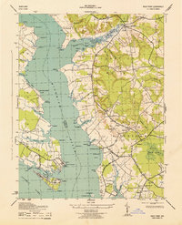
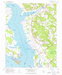
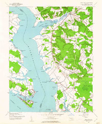
Editions of this 1943 Rock Point Map
6 editions found
Other maps of this area

1892 · Leonardtown
USGS Topo · 1:62,500

1892 · Piney Point
USGS Topo · 1:62,500

1892 · Montross
USGS Topo · 1:62,500

1894 · Wicomico
USGS Topo · 1:62,500

1894 · Piney Point
USGS Topo · 1:62,500

1895 · Wicomico
USGS Topo · 1:62,500

1895 · Leonardtown
USGS Topo · 1:62,500

1895 · Nomini
USGS Topo · 1:125,000

1895 · Piney Point
USGS Topo · 1:62,500

1895 · Montross
USGS Topo · 1:62,500