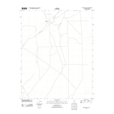
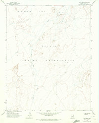
2011 Map of Rock Point SW
USGS Topo · Published 2011About this map
Trading Post Wash flows across this high-desert landscape in Apache County, serving as the primary drainage for a region defined by its network of rural transport routes. The convergence of Co Rd 580 and Indian Rte 8070 suggests a historic crossroads near the wash, where infrastructure supports the movement of residents and goods through the Shiprock Agency. This 2011 survey documents the established corridors of Indian Rte 8090 and Indian Rte 18 as they traverse the plateau, illustrating the spatial organization of the modern Navajo Nation. The map captures the subtle relationship between the sparse hydrography and the deliberate placement of county and tribal roads, which follow the natural contours of the basin floor.
Find a feature on this map
6 named features on this map. Tap any name to fly to it.
Don’t see what you’re looking for? This feature index may not catch every label — zoom into the map to look around manually.
Map Details
Editions of this 2011 Rock Point SW Map
This is the sole edition of this map. No revisions or reprints were ever made.
Other maps of this area

1892 · Canyon De Chelly
USGS Topo · 1:250,000

1954 · Shiprock
USGS Topo · 1:250,000

1958 · Shiprock
USGS Topo · 1:250,000

1959 · Shiprock
USGS Topo · 1:250,000

1968 · Rock Point SW
USGS Topo · 1:24,000
1968 · Dancing Rocks
USGS Topo · 1:24,000
1968 · White Point
USGS Topo · 1:24,000
1968 · Many Farms NE
USGS Topo · 1:24,000
1968 · Tall Mesa
USGS Topo · 1:24,000

1968 · Windy Valley
USGS Topo · 1:24,000