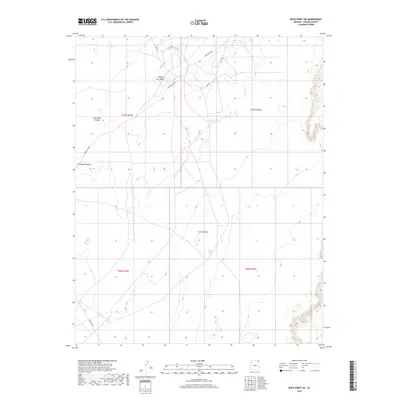
2018 Map of Rock Point SW
USGS Topo · Published 2018About this map
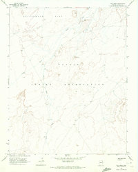
Carson Mesa dominates the central landscape of this Apache County region, situated within the Shiprock Agency lands. The terrain is defined by wide expanses such as the Dibe Chaa Valley and the intermittent drainage of Trading Post Wash. This 2018 survey by the U.S. Geological Survey illustrates a sparsely populated territory where connectivity is maintained through a network of local roads and designated routes including Indian Rte 8090 and Indian Rte 18. The map documents the Public Land Survey System grid across four townships, including t37n r24e and t36n r25e, providing a precise look at the land divisions in this part of the Navajo Nation. Researchers can trace the path of numerous county roads like Co Rd 560 and Co Rd 491 as they navigate the high desert floor.
Find a feature on this map
13 named features on this map. Tap any name to fly to it.
Don’t see what you’re looking for? This feature index may not catch every label — zoom into the map to look around manually.
Map Details
Editions of this 2018 Rock Point SW Map
This is the sole edition of this map. No revisions or reprints were ever made.
Other maps of this area

1892 · Canyon De Chelly
USGS Topo · 1:250,000

1954 · Shiprock
USGS Topo · 1:250,000

1958 · Shiprock
USGS Topo · 1:250,000

1959 · Shiprock
USGS Topo · 1:250,000

1968 · Rock Point SW
USGS Topo · 1:24,000
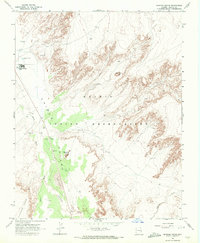
1968 · Dancing Rocks
USGS Topo · 1:24,000
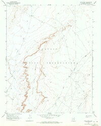
1968 · White Point
USGS Topo · 1:24,000
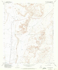
1968 · Many Farms NE
USGS Topo · 1:24,000
1968 · Tall Mesa
USGS Topo · 1:24,000

1968 · Windy Valley
USGS Topo · 1:24,000