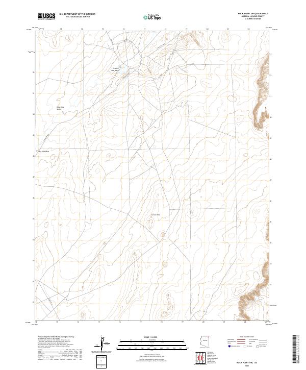
2021 Map of Rock Point SW
USGS Topo · Published 2021About this map
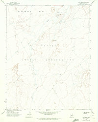
Carson Mesa dominates the central portion of this high-desert landscape in northern Apache County, providing a high topographical anchor in an area defined by broad drainage systems and expansive valleys. The intermittent flow of Trading Post Wash carves through the northern sections, cutting across a network of tribal and county roads that link the sparse residential sites and grazing lands. This 2021 digital survey by the U.S. Geological Survey illustrates the enduring isolation and the vast scale of the Dibe Chaa Valley, where the road network, including Indian Rte 8090 and Indian Rte 18, follows the natural contours of the terrain rather than a rigid grid. The map's detail is particularly useful for understanding the hydrography of the high desert and the modern infrastructure serving these remote reaches of the Navajo Nation.
Find a feature on this map
13 named features on this map. Tap any name to fly to it.
Don’t see what you’re looking for? This feature index may not catch every label — zoom into the map to look around manually.
Map Details
Editions of this 2021 Rock Point SW Map
This is the sole edition of this map. No revisions or reprints were ever made.
Other maps of this area

1892 · Canyon De Chelly
USGS Topo · 1:250,000

1954 · Shiprock
USGS Topo · 1:250,000

1958 · Shiprock
USGS Topo · 1:250,000

1959 · Shiprock
USGS Topo · 1:250,000

1968 · Rock Point SW
USGS Topo · 1:24,000
1968 · Dancing Rocks
USGS Topo · 1:24,000
1968 · White Point
USGS Topo · 1:24,000
1968 · Many Farms NE
USGS Topo · 1:24,000
1968 · Tall Mesa
USGS Topo · 1:24,000

1968 · Windy Valley
USGS Topo · 1:24,000