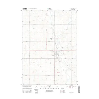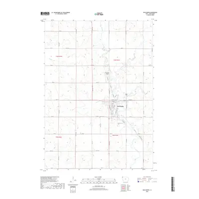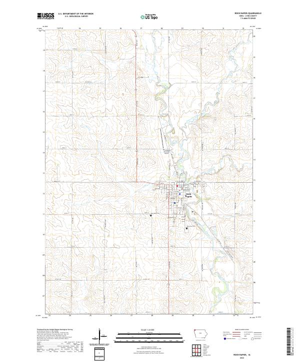
2022 Map of Rock Rapids
USGS Topo · Published 2022About this map
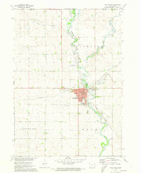
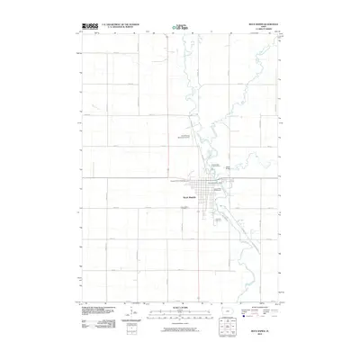
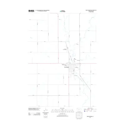
Rock Rapids sits at the confluence of several waterways in this northwestern Iowa landscape, where the Rock River meets Kanaranzi Creek and the smaller Moon Cr. The town serves as a regional hub, anchored by the Lyon County Courthouse and a grid of residential streets including 1st Ave E and S 10th Ave. To the north, the Rock Rapids Municipal Airport marks the edge of the developed area, while the surrounding countryside is defined by a strictly organized section-line road network such as Garfield Ave and 140th St.
Find a feature on this map
58 named features on this map. Tap any name to fly to it.
Don’t see what you’re looking for? This feature index may not catch every label — zoom into the map to look around manually.
Map Details
Editions of this 2022 Rock Rapids Map
This is the sole edition of this map. No revisions or reprints were ever made.
Historical Maps of Rock Rapids Through Time
7 maps found