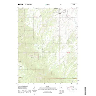
2019 Map of Rockvale
USGS Topo · Published 2019About this map
Williamsburg, Rockvale, and Coal Creek anchor this survey of the northern canyon country where the high plains meet the mountains. The landscape is defined by deep drainage systems including Coal Creek Canyon and its tributaries, the West Fork, and Middle Fork. These waterways cut through a rugged vertical profile that rises toward Locke Mtn and Round Mtn in the west, leading into the San Isabel National Forest. The map captures the dense network of local routes like Co RD 80 and Co RD 15 that navigate the ridges between Florence and the high basins of Locke Park. These roads follow the ancient natural corridors carved by Oak Cr and the multiple branches of Newlin Cr, documenting the modern footprint of these long-established Fremont County communities.
Find a feature on this map
46 named features on this map. Tap any name to fly to it.
Don’t see what you’re looking for? This feature index may not catch every label — zoom into the map to look around manually.
Map Details
Editions of this 2019 Rockvale Map
This is the sole edition of this map. No revisions or reprints were ever made.
Other maps of this area

1889 · Canon City
USGS Topo · 1:125,000

1892 · Canon City
USGS Topo · 1:125,000

1954 · Mount Tyndall
USGS Topo · 1:24,000

1954 · Pueblo
USGS Topo · 1:250,000

1957 · Pueblo
USGS Topo · 1:250,000

1958 · Pueblo
USGS Topo · 1:250,000

1959 · Florence
USGS Topo · 1:24,000
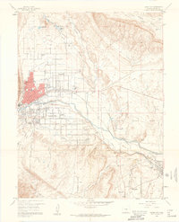
1959 · Canon City
USGS Topo · 1:24,000

1959 · Rockvale
USGS Topo · 1:24,000

1959 · Royal Gorge
USGS Topo · 1:62,500