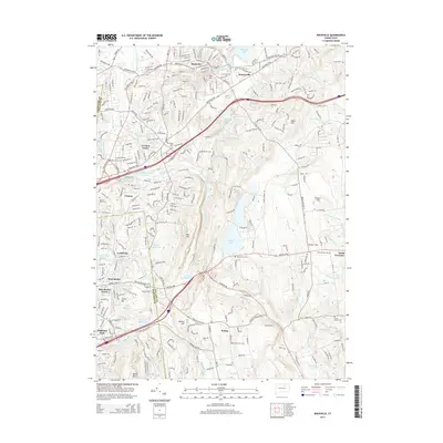
2015 Map of Rockville
USGS Topo · Published 2015About this map
Rockville stands as a primary focal point at the northern edge of this study, where the Hockanum River and Paper Mill Pond reflect the area's industrial heritage. The landscape is defined by a dense network of water bodies and historical burial grounds, including Grove Hill Cem and Saint Bernards Cem. Moving south, the terrain rises toward Fox Hill and Box Hill, with Railroad Brook carving a path toward the scenic Bolton Notch Pond.
Find a feature on this map
73 named features on this map. Tap any name to fly to it.
Don’t see what you’re looking for? This feature index may not catch every label — zoom into the map to look around manually.
Map Details
Editions of this 2015 Rockville Map
This is the sole edition of this map. No revisions or reprints were ever made.
Other maps of this area

1892 · Hartford
USGS Topo · 1:62,500

1892 · Tolland
USGS Topo · 1:62,500

1892 · Gilead
USGS Topo · 1:62,500

1893 · Middletown
USGS Topo · 1:62,500

1906 · Farmington
USGS Topo · 1:125,000

1921 · Tolland
USGS Topo · 1:62,500

1928 · Glastonbury
USGS Topo · 1:24,000

1928 · Broad Brook
USGS Topo · 1:24,000

1928 · Manchester
USGS Topo · 1:24,000

1944 · Manchester
USGS Topo · 1:31,680