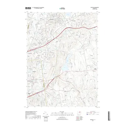
2018 Map of Rockville
USGS Topo · Published 2018About this map
Rockville and the surrounding industrial and residential landscapes of north-central Connecticut are mapped here in extensive detail. The urban core around the Hockanum River contrasts with the managed waters of Shenipsit Lake and the Walker Reservoir West. This area is characterized by a high density of established community landmarks, including numerous burial grounds like Grove Hill Cem and Saint Bernards Cem, reflecting generations of local history.
Find a feature on this map
67 named features on this map. Tap any name to fly to it.
Don’t see what you’re looking for? This feature index may not catch every label — zoom into the map to look around manually.
Map Details
Editions of this 2018 Rockville Map
This is the sole edition of this map. No revisions or reprints were ever made.
Other maps of this area

1892 · Hartford
USGS Topo · 1:62,500

1892 · Tolland
USGS Topo · 1:62,500

1892 · Gilead
USGS Topo · 1:62,500

1893 · Middletown
USGS Topo · 1:62,500

1906 · Farmington
USGS Topo · 1:125,000

1921 · Tolland
USGS Topo · 1:62,500

1928 · Glastonbury
USGS Topo · 1:24,000

1928 · Broad Brook
USGS Topo · 1:24,000

1928 · Manchester
USGS Topo · 1:24,000

1944 · Manchester
USGS Topo · 1:31,680