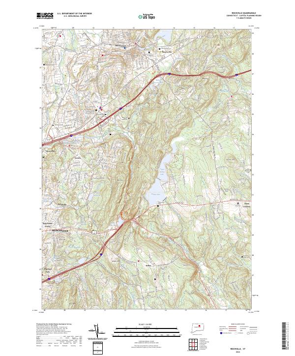
2024 Map of Rockville
USGS Topo · Published 2024About this map
Rockville serves as a dense municipal and legal hub at the northern edge of this landscape, home to the Rockville Superior Court and Tolland County Courthouse. The area's industrial legacy is subtly marked by features like Paper Mill Pond, while its residential expansion is anchored by numerous spiritual and memorial sites, including Saint Bernards Church and Elmwood Cemetery. Moving south, the terrain opens into a complex network of water bodies and hills, from Walker Reservoir East to the prominent Birch Mountain.
Find a feature on this map
71 named features on this map. Tap any name to fly to it.
Don’t see what you’re looking for? This feature index may not catch every label — zoom into the map to look around manually.
Map Details
Editions of this 2024 Rockville Map
This is the sole edition of this map. No revisions or reprints were ever made.
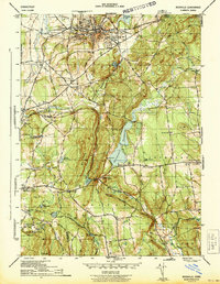
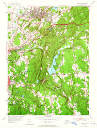
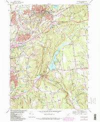
Historical Maps of Lydallville Through Time
4 maps found