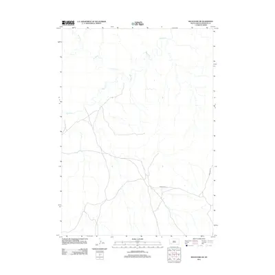
2012 Map of Rockyford SW
USGS Topo · Published 2012About this map
The White River carves a winding path across this portion of South Dakota, defining the hydrology of the Wounded Knee District. This landscape is shaped by the drainage patterns of western tributaries including W Horse Cr, which flows toward the main river channel through an area marked by limited development. Transportation across these plains is represented by local thoroughfares such as Grass Creek Rd, which provides access to the interior terrain. The mapping reflects a sparse settlement pattern characteristic of the region, where the natural watercourses and the simple road network are the primary markers for navigation and land use.
Find a feature on this map
3 named features on this map. Tap any name to fly to it.
Don’t see what you’re looking for? This feature index may not catch every label — zoom into the map to look around manually.
Map Details
Editions of this 2012 Rockyford SW Map
This is the sole edition of this map. No revisions or reprints were ever made.
Other maps of this area

1951 · Rockyford SW
USGS Topo · 1:24,000

1951 · Rockyford NW
USGS Topo · 1:24,000

1951 · Willow Creek NE
USGS Topo · 1:24,000

1951 · Rockyford
USGS Topo · 1:24,000

1951 · Rockyford SE
USGS Topo · 1:24,000

1955 · Hot Springs
USGS Topo · 1:250,000

1967 · Pine Ridge NE
USGS Topo · 1:24,000

1967 · Oglala
USGS Topo · 1:24,000

1967 · Slim Butte NE
USGS Topo · 1:24,000

1967 · Willow Creek
USGS Topo · 1:24,000