
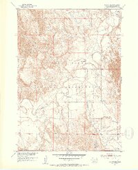
1951 Map of Rockyford
USGS Topo · Published 1953About this map
The Pine Ridge Indian Reservation landscape is defined by the winding course of the White River and the significant drainage of Wounded Knee Creek. In the early 1950s, this area of South Dakota shows a pattern of community life anchored by small rural institutions. The settlement of Rockyford sits at the northern edge of the sheet, while the surrounding tablelands and creek valleys are dotted with local landmarks like Steele Sch and religious sites including St Mark Ch and St Peter Ch. The topography is dominated by the broad, elevated plateau of the Cuny Table in the northwest, which drops off into the eroded breaks and drainages leading toward Grass Creek. This survey captures the connectivity of the Missouri River Basin development era, documenting the unimproved roads and light-duty tracks that linked these isolated prairie outposts.
Find a feature on this map
9 named features on this map. Tap any name to fly to it.
Don’t see what you’re looking for? This feature index may not catch every label — zoom into the map to look around manually.
Map Details
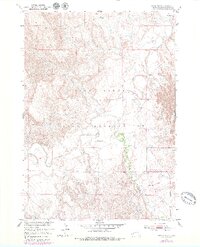
Editions of this 1951 Rockyford Map
3 editions found
Other maps of this area

1950 · Stirk Table
USGS Topo · 1:24,000

1950 · Cuny Table East
USGS Topo · 1:24,000

1950 · Imlay SW
USGS Topo · 1:24,000

1951 · Rockyford SW
USGS Topo · 1:24,000

1951 · Sharps Corner
USGS Topo · 1:24,000

1951 · Rockyford NW
USGS Topo · 1:24,000

1951 · Rockyford SE
USGS Topo · 1:24,000

1955 · Hot Springs
USGS Topo · 1:250,000

1981 · Wall
USGS Topo · 1:100,000

1981 · Evergreen
USGS Topo · 1:25,000