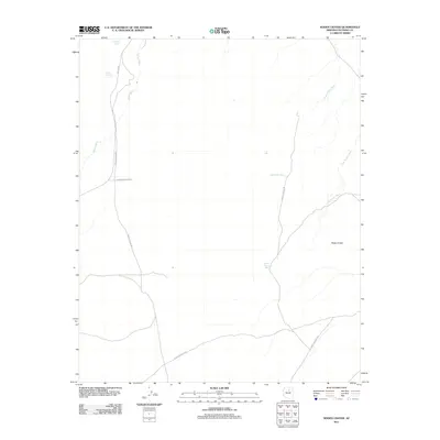
2011 Map of Roden Crater
USGS Topo · Published 2011About this map
Roden Crater dominates the southeastern quadrant of this Coconino County landscape, illustrating the intersection of volcanic geology and late 20th-century land art. The presence of Chambers Ranch Rd and several Forest Service Rd routes indicates the managed nature of this high-desert terrain. Water remains the primary shaper of the land, though its presence is often ephemeral or underground, as seen in the system of drainage channels like Stone House Wash and Kanaa Wash. Reliable water sources are marked by specific points of interest for local history, including Pehlaki Spring, Coyote Spring, and Roden Spring. This 2011 survey captures the area during a period of international recognition for the crater, yet the map maintains focus on the practical infrastructure of the Co Hwy 395 corridor.
Find a feature on this map
11 named features on this map. Tap any name to fly to it.
Don’t see what you’re looking for? This feature index may not catch every label — zoom into the map to look around manually.
Map Details
Editions of this 2011 Roden Crater Map
This is the sole edition of this map. No revisions or reprints were ever made.
Other maps of this area

1886 · San Francisco Mtns
USGS Topo · 1:250,000

1891 · San Francisco Mtns
USGS Topo · 1:250,000

1894 · San Francisco Mtns
USGS Topo · 1:250,000

1899 · San Francisco Mtns
USGS Topo · 1:250,000

1947 · Flagstaff
USGS Topo · 1:250,000

1954 · Flagstaff
USGS Topo · 1:250,000

1955 · Black Falls 4 SW
USGS Topo · 1:24,000

1958 · Flagstaff
USGS Topo · 1:250,000

1960 · Flagstaff
USGS Topo · 1:250,000

1962 · Flagstaff
USGS Topo · 1:250,000