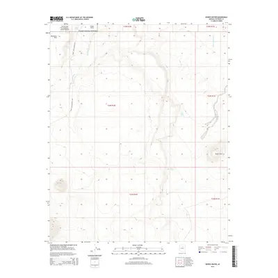
2014 Map of Roden Crater
USGS Topo · Published 2014About this map
Roden Crater stands as a prominent landmark in this Coconino County landscape, surrounded by a network of seasonal drainages and high desert features. To the northwest, the boundary of Wupatki National Monument reaches into the Kanaa Valley, where cultural history and geology meet near the Sunset Crater-Wupatki Loop. The terrain is defined by elevated landforms like Woodhouse Mesa and a series of vital water points, including Peshlaki Spring and Coyote Spring, which have long served as essential resources in this arid environment.
Find a feature on this map
18 named features on this map. Tap any name to fly to it.
Don’t see what you’re looking for? This feature index may not catch every label — zoom into the map to look around manually.
Map Details
Editions of this 2014 Roden Crater Map
This is the sole edition of this map. No revisions or reprints were ever made.
Other maps of this area

1886 · San Francisco Mtns
USGS Topo · 1:250,000

1891 · San Francisco Mtns
USGS Topo · 1:250,000

1894 · San Francisco Mtns
USGS Topo · 1:250,000

1899 · San Francisco Mtns
USGS Topo · 1:250,000

1947 · Flagstaff
USGS Topo · 1:250,000

1954 · Flagstaff
USGS Topo · 1:250,000

1955 · Black Falls 4 SW
USGS Topo · 1:24,000

1958 · Flagstaff
USGS Topo · 1:250,000

1960 · Flagstaff
USGS Topo · 1:250,000

1962 · Flagstaff
USGS Topo · 1:250,000