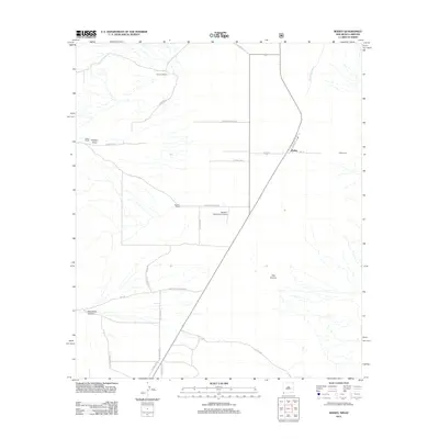
2012 Map of Rodeo
USGS Topo · Published 2012About this map
Rodeo anchors this corner of the High Desert along the New Mexico and Arizona border, situated at a junction where the railroad once shaped the local economy. The landscape is defined by the broad drainage of the San Simon River and the ephemeral Sulphur Draw, which cut through the arid valley floor. Ranching heritage is evident across the quadrangle, with named holdings like Stanford Ranch, Miller Ranch, and Darnell Ranch marking established centers of rural life. To the east, the Rodeo Cemetery serves as a significant site for local genealogical research. The terrain transitions from flat valley basins into the more complex topography of Owl Canyon and Horseshoe Canyon as one moves toward the mountain foothills. A unique modern landmark, the Mystery Well Ranch Airport, sits central to the map, reflecting the vast distances and specialized infrastructure required in this sparsely populated borderland region.
Find a feature on this map
29 named features on this map. Tap any name to fly to it.
Don’t see what you’re looking for? This feature index may not catch every label — zoom into the map to look around manually.
Map Details
Editions of this 2012 Rodeo Map
This is the sole edition of this map. No revisions or reprints were ever made.
Other maps of this area

1917 · Chiricahua
USGS Topo · 1:125,000

1918 · Animas Peak
USGS Topo · 1:62,500

1918 · Pratt
USGS Topo · 1:62,500

1919 · Pratt
USGS Topo · 1:62,500

1919 · Chiricahua
USGS Topo · 1:125,000

1920 · Animas Peak
USGS Topo · 1:62,500

1926 · Rodeo
USGS Topo · 1:62,500

1940 · Apache
USGS Topo · 1:62,500

1955 · Douglas
USGS Topo · 1:250,000

1958 · Apache
USGS Topo · 1:62,500