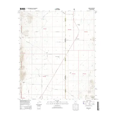
2013 Map of Rodeo
USGS Topo · Published 2013About this map
The border community of Rodeo sits at the intersection of the San Simon Valley and the Peloncillo Mountains, marking a distinct threshold between the high desert floor and the rising peaks of the Coronado National Forest. This 2013 survey documents the sparse settlement patterns along the Arizona and New Mexico line, where the local economy is anchored by established family operations like Miller Ranch and Darnell Ranch. The landscape is defined by its drainage systems, from the ephemeral San Simon River to the deep incisions of Horseshoe Canyon and Owl Canyon in the south.
Find a feature on this map
46 named features on this map. Tap any name to fly to it.
Don’t see what you’re looking for? This feature index may not catch every label — zoom into the map to look around manually.
Map Details
Editions of this 2013 Rodeo Map
This is the sole edition of this map. No revisions or reprints were ever made.
Other maps of this area

1917 · Chiricahua
USGS Topo · 1:125,000

1918 · Animas Peak
USGS Topo · 1:62,500

1918 · Pratt
USGS Topo · 1:62,500

1919 · Pratt
USGS Topo · 1:62,500

1919 · Chiricahua
USGS Topo · 1:125,000

1920 · Animas Peak
USGS Topo · 1:62,500

1926 · Rodeo
USGS Topo · 1:62,500

1940 · Apache
USGS Topo · 1:62,500

1955 · Douglas
USGS Topo · 1:250,000

1958 · Apache
USGS Topo · 1:62,500