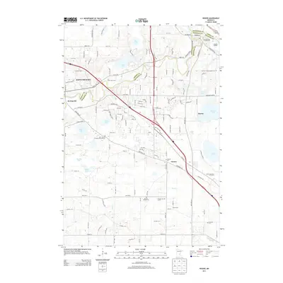
2013 Map of Rogers
USGS Topo · Published 2013About this map
The Crow River defines the boundary between Wright and Hennepin counties, weaving past the established settlement of Saint Michael and the historic site of Berning Mill. This 2013 survey illustrates the modern residential expansion and infrastructure around Rogers and Dayton, where local landmarks like the Po serve as hubs for the growing community. The landscape is dotted with significant genealogical sites, including the Saint John the Evangelist Episcopal Cem and Old Saint John the Baptist Cem.
Find a feature on this map
74 named features on this map. Tap any name to fly to it.
Don’t see what you’re looking for? This feature index may not catch every label — zoom into the map to look around manually.
Map Details
Editions of this 2013 Rogers Map
This is the sole edition of this map. No revisions or reprints were ever made.
Other maps of this area

1902 · Anoka
USGS Topo · 1:62,500

1909 · Rockford
USGS Topo · 1:62,500

1916 · St. Francis
USGS Topo · 1:62,500

1919 · St. Francis
USGS Topo · 1:62,500

1953 · Stillwater
USGS Topo · 1:250,000

1955 · Osseo
USGS Topo · 1:24,000

1955 · Anoka
USGS Topo · 1:24,000

1955 · Anoka
USGS Topo · 1:62,500

1955 · Stillwater
USGS Topo · 1:250,000

1958 · Stillwater
USGS Topo · 1:250,000