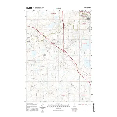
2016 Map of Rogers
USGS Topo · Published 2016About this map
The Crow River and the Mississippi National River and Recreation Area define the northern boundaries of this landscape, where the settlements of Dayton and Rogers serve as local hubs. The area is marked by a transition from the industrial and commercial corridors near Rogers to a more water-dotted terrain featuring Rice Lake, Sylvan Lake, and French Lake. Local industry is anchored by the historic Berning Mill located along the riverbanks near the Wright and Hennepin County line.
Find a feature on this map
102 named features on this map. Tap any name to fly to it.
Don’t see what you’re looking for? This feature index may not catch every label — zoom into the map to look around manually.
Map Details
Editions of this 2016 Rogers Map
This is the sole edition of this map. No revisions or reprints were ever made.
Other maps of this area

1902 · Anoka
USGS Topo · 1:62,500

1909 · Rockford
USGS Topo · 1:62,500

1916 · St. Francis
USGS Topo · 1:62,500

1919 · St. Francis
USGS Topo · 1:62,500

1953 · Stillwater
USGS Topo · 1:250,000

1955 · Osseo
USGS Topo · 1:24,000

1955 · Anoka
USGS Topo · 1:24,000

1955 · Anoka
USGS Topo · 1:62,500

1955 · Stillwater
USGS Topo · 1:250,000

1958 · Stillwater
USGS Topo · 1:250,000