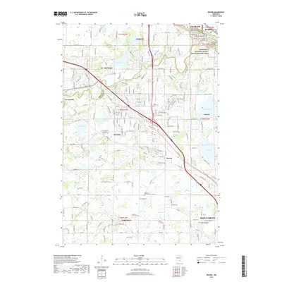
2019 Map of Rogers
USGS Topo · Published 2019About this map
Mississippi River frontage and the winding Crow River define the northern and western reaches of this 2019 landscape at the intersection of Wright, Hennepin, and Sherburne counties. The map provides extensive detail for genealogists, documenting numerous burial grounds such as Old Saint Walburga Cem, Fletcher Cem, and Saint Martin Cem. The settlement of Rogers sits central to a network of local transit including Co Rd 81 and the historical Territorial Rd. To the northwest, Berning Mill and Goodin Island mark old points of river activity, while the east is dominated by the Mississippi National River and Recreation Area. The southern portion reflects the expanding residential reaches of Corcoran and Maple Grove, dotted with small water bodies like French Lake and Rush Creek.
Find a feature on this map
58 named features on this map. Tap any name to fly to it.
Don’t see what you’re looking for? This feature index may not catch every label — zoom into the map to look around manually.
Map Details
Editions of this 2019 Rogers Map
This is the sole edition of this map. No revisions or reprints were ever made.
Other maps of this area

1902 · Anoka
USGS Topo · 1:62,500

1909 · Rockford
USGS Topo · 1:62,500

1916 · St. Francis
USGS Topo · 1:62,500

1919 · St. Francis
USGS Topo · 1:62,500

1953 · Stillwater
USGS Topo · 1:250,000

1955 · Osseo
USGS Topo · 1:24,000

1955 · Anoka
USGS Topo · 1:24,000

1955 · Anoka
USGS Topo · 1:62,500

1955 · Stillwater
USGS Topo · 1:250,000

1958 · Stillwater
USGS Topo · 1:250,000