
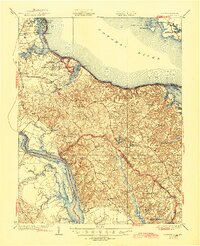
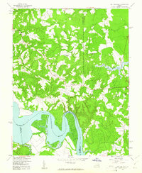
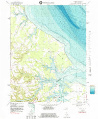
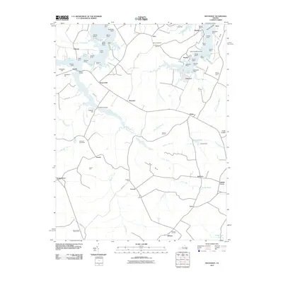
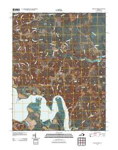
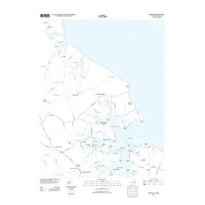
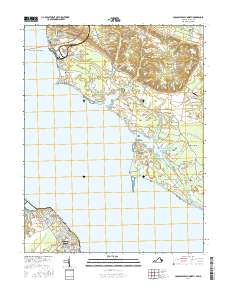
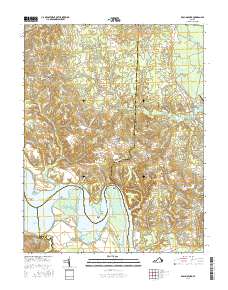
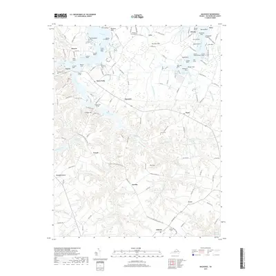
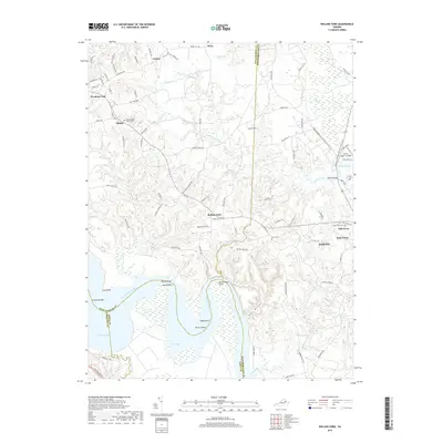
1942 Map of Rollins Fork
USGS Topo · Published 1942About this map
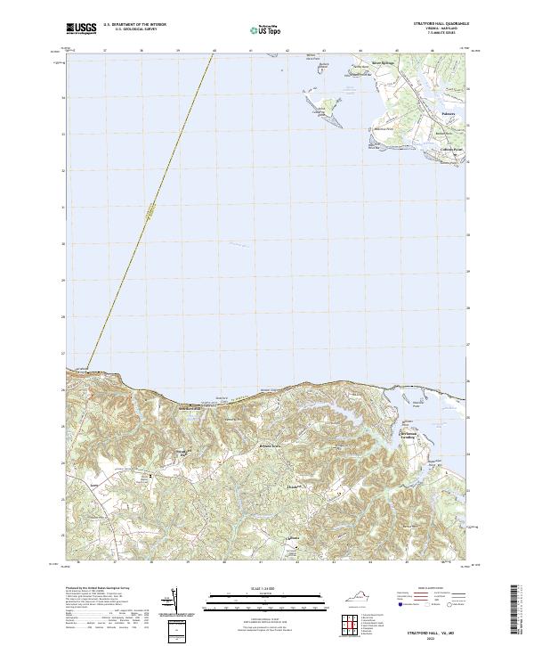
The Rappahannock River dictates the landscape of this Northern Neck region during the early 1940s, serving as the southern boundary where the tidewater geography meets the interior. At Wilmont Wharf, the transition from river commerce to the upland road network is evident, connecting the shoreline to interior settlements like Rollins Fork and Howards View. The map captures a detailed view of rural life just before post-war changes, where crossroads such as Dickinsons Corner and Weedons Fork served as the primary social and economic hubs for local families.
Find a feature on this map
19 named features on this map. Tap any name to fly to it.
Don’t see what you’re looking for? This feature index may not catch every label — zoom into the map to look around manually.
Map Details
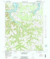
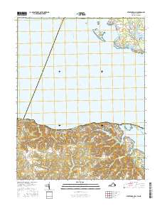
Editions of this 1942 Rollins Fork Map
This is the sole edition of this map. No revisions or reprints were ever made.
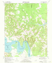
Historical Maps of Gulvey Through Time
45 maps found

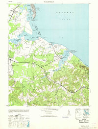
1930 Wakefield
Westmoreland County, VA
1932 Wakefield
Westmoreland County, VA
1942 Rollins Fork
Westmoreland County, VA
1943 Machodoc
Westmoreland County, VA
1943 Wakefield
Westmoreland County, VA
1943 Yeocomico River
Westmoreland County, VA
1949 Rollins Fork
Westmoreland County, VA
1953 Wakefield
Westmoreland County, VA
1968 Colonial Beach North
Westmoreland County, VA
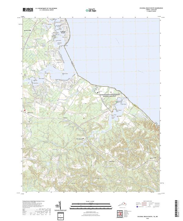
1968 Colonial Beach South
Westmoreland County, VA
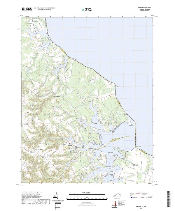
1968 Kinsale
Westmoreland County, VA
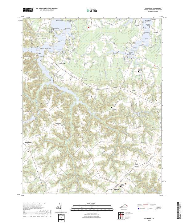
1968 Machodoc
Westmoreland County, VA
1968 Rollins Fork
Westmoreland County, VA

1968 Stratford Hall
Westmoreland County, VA
1981 Stratford Hall
Westmoreland County, VA
2010 Machodoc
Westmoreland County, VA
2011 Colonial Beach North
Westmoreland County, VA
2011 Colonial Beach South
Westmoreland County, VA
2011 Kinsale
Westmoreland County, VA
2011 Rollins Fork
Westmoreland County, VA
2011 Stratford Hall
Westmoreland County, VA
2013 Colonial Beach North
Westmoreland County, VA
2013 Colonial Beach South
Westmoreland County, VA
2013 Kinsale
Westmoreland County, VA
2013 Machodoc
Westmoreland County, VA
2013 Rollins Fork
Westmoreland County, VA
2013 Stratford Hall
Westmoreland County, VA
2016 Colonial Beach North
Westmoreland County, VA
2016 Colonial Beach South
Westmoreland County, VA
2016 Kinsale
Westmoreland County, VA
2016 Machodoc
Westmoreland County, VA
2016 Rollins Fork
Westmoreland County, VA
2016 Stratford Hall
Westmoreland County, VA
2019 Colonial Beach North
Westmoreland County, VA

2019 Colonial Beach South
Westmoreland County, VA
2019 Kinsale
Westmoreland County, VA
2019 Machodoc
Westmoreland County, VA
2019 Rollins Fork
Westmoreland County, VA
2019 Stratford Hall
Westmoreland County, VA
2022 Colonial Beach North
Westmoreland County, VA
2022 Colonial Beach South
Westmoreland County, VA
2022 Kinsale
Westmoreland County, VA
2022 Machodoc
Westmoreland County, VA
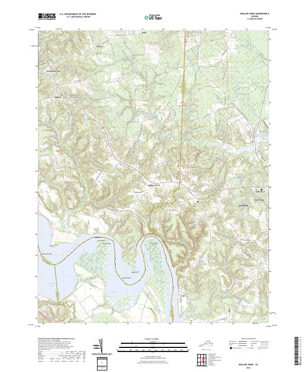
2022 Rollins Fork
Westmoreland County, VA
2022 Stratford Hall
Westmoreland County, VA