
1902 Map of Wicomico
USGS Topo · Published 1902About this map
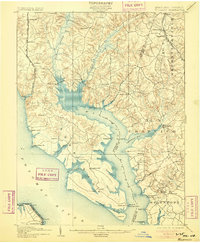
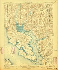
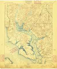
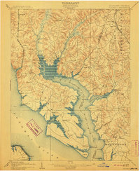
Wicomico River serves as the central artery for this coastal region where Charles and St. Marys counties meet. The landscape is defined by the deep indentations of Chaptico Bay and the broad reach of the Potomac River to the south. During this era, the waterfront was a hub of commercial activity, evidenced by numerous landings and wharves such as Budd Creek Ldg., Wilkerson Wharf, and Lancaster Wharf. These points of transit supported a maritime economy that predated the dominance of modern highways.
Find a feature on this map
65 named features on this map. Tap any name to fly to it.
Don’t see what you’re looking for? This feature index may not catch every label — zoom into the map to look around manually.
Map Details
Editions of this 1902 Wicomico Map
5 editions found
Other maps of this area

1889 · Fredericksburg
USGS Topo · 1:125,000

1890 · Mt. Vernon
USGS Topo · 1:125,000

1891 · Mt. Vernon
USGS Topo · 1:125,000

1892 · Leonardtown
USGS Topo · 1:62,500

1892 · Fredericksburg
USGS Topo · 1:125,000

1892 · Prince Frederick
USGS Topo · 1:62,500

1892 · Brandywine
USGS Topo · 1:62,500

1892 · Piney Point
USGS Topo · 1:62,500

1892 · Montross
USGS Topo · 1:62,500

1894 · Wicomico
USGS Topo · 1:62,500