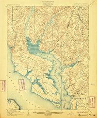
1902 Map of Wicomico
USGS Topo · Published 1907About this map
Wicomico River and its intricate network of tidal creeks dominate this Southern Maryland landscape at the beginning of the twentieth century. The map illustrates a region heavily reliant on waterborne commerce and rail transit, with established wharves like Lancaster Wharf and Plowdens Wharf serving as vital shipping points along the riverbanks. The Pope Creek R. R. and the Philadelphia Wilmington and Baltimore R. R. provide the primary overland connections, carving through the inland terrain near settlements like Charlotte Hall and Newmarket. Inland, the expansive Zekiah Swamp and Gilbert Swamp feed into the river, shaping the distribution of farmsteads and small crossroads such as Allen Fresh and Dentsville. Along the Potomac River shore, the presence of the Ludlow Ferry and various points like Lower Cedar Pt. highlight the historical importance of the ferry system in connecting Charles County to the Virginia shore.
Find a feature on this map
69 named features on this map. Tap any name to fly to it.
Don’t see what you’re looking for? This feature index may not catch every label — zoom into the map to look around manually.
Map Details
Editions of this 1902 Wicomico Map
5 editions found

Other maps of this area

1889 · Fredericksburg
USGS Topo · 1:125,000

1890 · Mt. Vernon
USGS Topo · 1:125,000

1891 · Mt. Vernon
USGS Topo · 1:125,000

1892 · Leonardtown
USGS Topo · 1:62,500

1892 · Fredericksburg
USGS Topo · 1:125,000

1892 · Prince Frederick
USGS Topo · 1:62,500

1892 · Brandywine
USGS Topo · 1:62,500

1892 · Piney Point
USGS Topo · 1:62,500

1892 · Montross
USGS Topo · 1:62,500

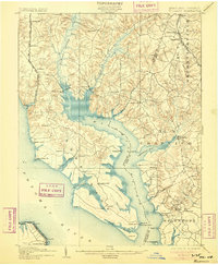
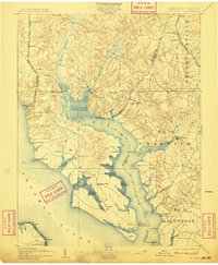
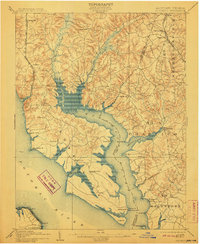
1894 · Wicomico
USGS Topo · 1:62,500