
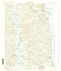
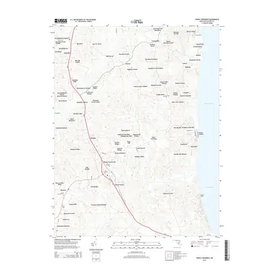
1892 Map of Prince Frederick
USGS Topo · Published 1892About this map
The Patuxent River corridor and the Chesapeake coast define the landscape of Calvert County in this late-19th-century survey. The geography reveals a heavy reliance on water-based transit, documented by numerous riverine landmarks such as Magruder Ferry, White Landing, and Lyons Cr. Wharf. Inland, the proposed path of the Drum Point Railroad Proposed cuts a north-south line through the peninsula, signaling a transition toward rail that would eventually compete with the established docks at Lower Marlboro and Benedict.
Find a feature on this map
56 named features on this map. Tap any name to fly to it.
Don’t see what you’re looking for? This feature index may not catch every label — zoom into the map to look around manually.
Map Details
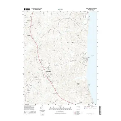
Editions of this 1892 Prince Frederick Map
This is the sole edition of this map. No revisions or reprints were ever made.
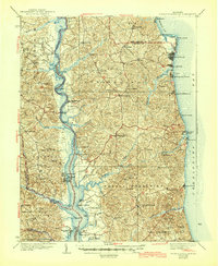
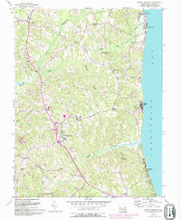
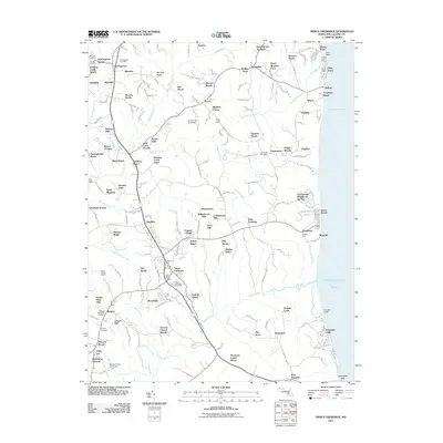
Historical Maps of Chesapeake Beach Through Time
11 maps found
1892 Prince Frederick
Calvert County, MD

1895 Prince Frederick
Calvert County, MD

1901 Prince Frederick
Calvert County, MD
1910 Prince Frederick
Calvert County, MD
1938 Prince Frederick
Calvert County, MD
1953 Prince Frederick
Calvert County, MD
2011 Prince Frederick
Calvert County, MD
2014 Prince Frederick
Calvert County, MD
2016 Prince Frederick
Calvert County, MD
2019 Prince Frederick
Calvert County, MD
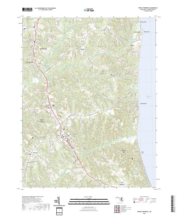
2023 Prince Frederick
Calvert County, MD