
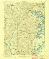
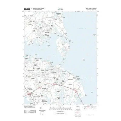
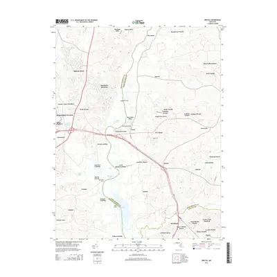
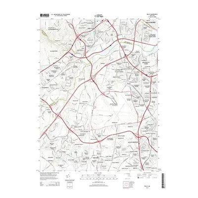
1892 Map of Owensville
USGS Topo · Published 1892About this map
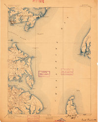
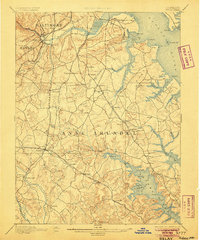
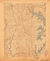
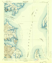
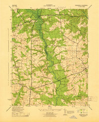
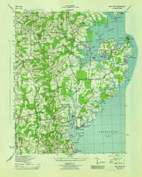
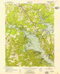
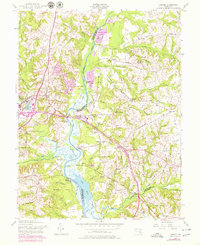
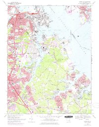
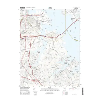
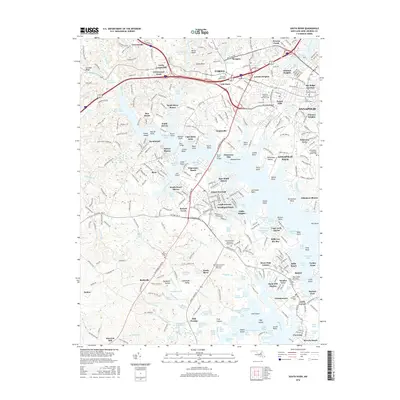
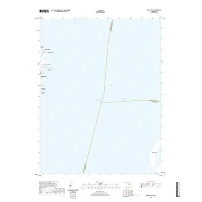
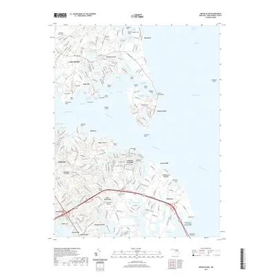
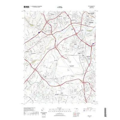
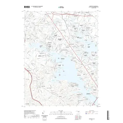
Anne Arundel County and its deep river systems define this late nineteenth-century coastal landscape, dominated by the winding course of the Patuxent River and the wide estuaries of the South River and West River. The map reveals a rural network of river crossings and crossroads, where Priest Bridge, Governor Bridge, and Hills Bridge provide vital links between Prince George County and the tidewater settlements. A particularly interesting detail for historians is the route of the Proposed Drum Point Railroad, a line surveyed to run south through Davidsonville and Lothian that would eventually become a notable failed venture of the era. Settlement is concentrated in small inland hamlets like Birdsville and Owensville, while the waterfront shows early development at West River (Galesville) and Parole. In the northern reaches, the Annapolis Water Works serves the nearby capital, and the Baltimore and Potomac Railroad skirts the western edge of the county near Mitchellville (Mullikin).
Find a feature on this map
62 named features on this map. Tap any name to fly to it.
Don’t see what you’re looking for? This feature index may not catch every label — zoom into the map to look around manually.
Map Details
Editions of this 1892 Owensville Map
This is the sole edition of this map. No revisions or reprints were ever made.
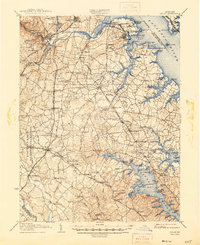
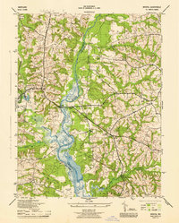
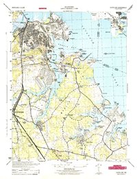
Historical Maps of Bowie Through Time
65 maps found
1892 Owensville
Anne Arundel County, MD
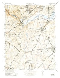
1893 North Point
Anne Arundel County, MD
1894 Relay
Anne Arundel County, MD
1895 Owensville
Anne Arundel County, MD
1904 North Point
Anne Arundel County, MD
1905 Owensville
Anne Arundel County, MD
1907 Relay
Anne Arundel County, MD

1943 North Point
Anne Arundel County, MD
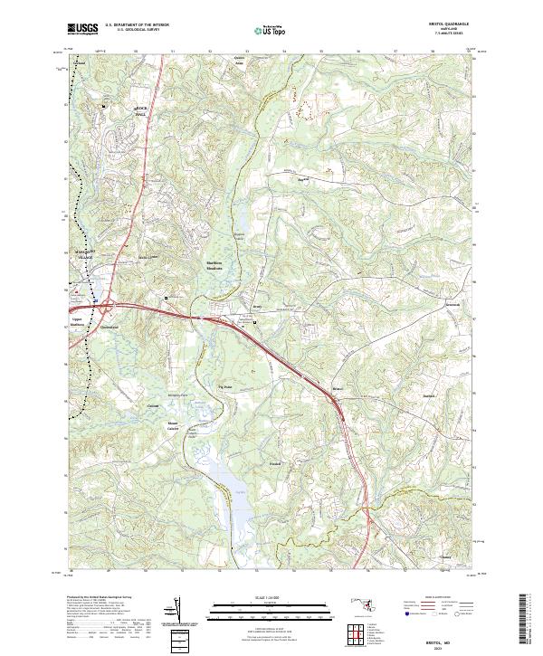
1944 Bristol
Anne Arundel County, MD
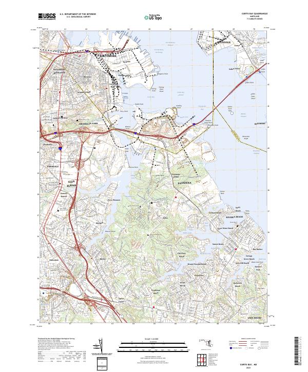
1944 Curtis Bay
Anne Arundel County, MD
1944 Davidsonville
Anne Arundel County, MD

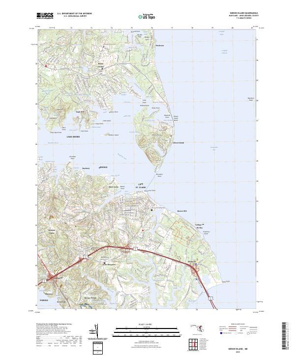
1944 Gibson Island
Anne Arundel County, MD
1944 Relay
Anne Arundel County, MD
1944 Round Bay
Anne Arundel County, MD
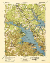
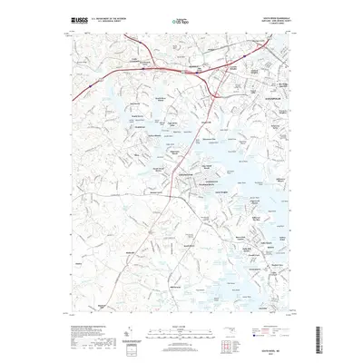
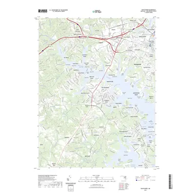
1944 South River
Anne Arundel County, MD
1944 West River
Anne Arundel County, MD
1946 Curtis Bay
Anne Arundel County, MD

1947 North Point
Anne Arundel County, MD
1947 Relay
Anne Arundel County, MD
1949 Curtis Bay
Anne Arundel County, MD
1949 Round Bay
Anne Arundel County, MD
1950 Relay
Anne Arundel County, MD
1954 Gibson Island
Anne Arundel County, MD
1956 Round Bay
Anne Arundel County, MD
1957 Bristol
Anne Arundel County, MD
1957 Curtis Bay
Anne Arundel County, MD
1957 Relay
Anne Arundel County, MD
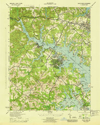
1957 South River
Anne Arundel County, MD
1969 Curtis Bay
Anne Arundel County, MD

1981 Relay
Anne Arundel County, MD
2011 Bristol
Anne Arundel County, MD
2011 Curtis Bay
Anne Arundel County, MD
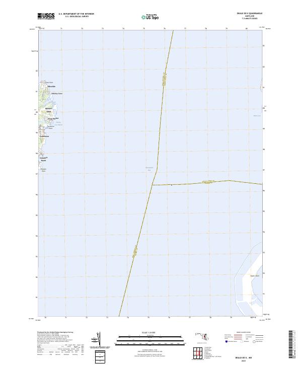
2011 Deale OE E
Anne Arundel County, MD
2011 Gibson Island
Anne Arundel County, MD
2011 Relay
Anne Arundel County, MD
2011 Round Bay
Anne Arundel County, MD
2011 South River
Anne Arundel County, MD
2014 Bristol
Anne Arundel County, MD
2014 Curtis Bay
Anne Arundel County, MD
2014 Deale OE E
Anne Arundel County, MD
2014 Gibson Island
Anne Arundel County, MD
2014 Relay
Anne Arundel County, MD
2014 Round Bay
Anne Arundel County, MD
2014 South River
Anne Arundel County, MD
2016 Bristol
Anne Arundel County, MD
2016 Curtis Bay
Anne Arundel County, MD
2016 Deale OE E
Anne Arundel County, MD
2016 Relay
Anne Arundel County, MD
2016 Round Bay
Anne Arundel County, MD
2016 South River
Anne Arundel County, MD
2017 Gibson Island
Anne Arundel County, MD
2019 Bristol
Anne Arundel County, MD
2019 Curtis Bay
Anne Arundel County, MD
2019 Deale OE E
Anne Arundel County, MD
2019 Gibson Island
Anne Arundel County, MD
2019 Relay
Anne Arundel County, MD
2019 Round Bay
Anne Arundel County, MD
2019 South River
Anne Arundel County, MD
2023 Bristol
Anne Arundel County, MD
2023 Curtis Bay
Anne Arundel County, MD
2023 Deale OE E
Anne Arundel County, MD
2023 Gibson Island
Anne Arundel County, MD
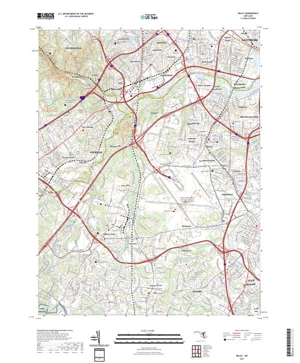
2023 Relay
Anne Arundel County, MD
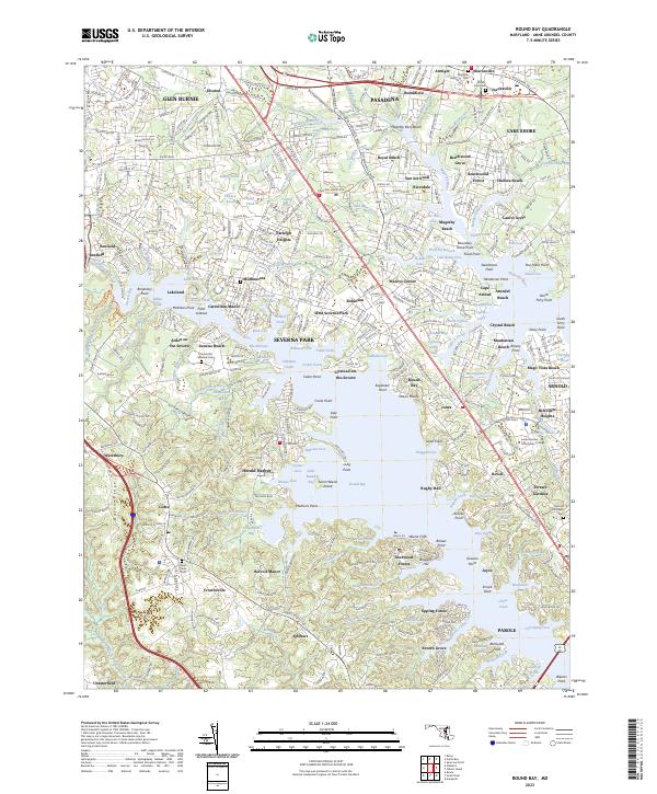
2023 Round Bay
Anne Arundel County, MD
2023 South River
Anne Arundel County, MD