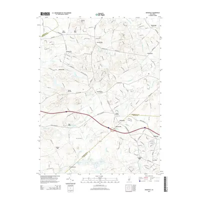
2014 Map of Roosevelt
USGS Topo · Published 2014About this map
Perrineville Lake and the winding Millstone River anchor the northern landscape of this region where Mercer and Monmouth counties meet. The area is defined by its small crossroads settlements and the subtle elevations of Disbrows Hill and Pine Hill. To the south, the terrain becomes increasingly water-rich as it crosses into Ocean County, featuring numerous reservoirs and creeks including Prospertown Lake, Switlick Lake, and the upper reaches of the Toms River.
Find a feature on this map
175 named features on this map. Tap any name to fly to it.
Don’t see what you’re looking for? This feature index may not catch every label — zoom into the map to look around manually.
Map Details
Editions of this 2014 Roosevelt Map
This is the sole edition of this map. No revisions or reprints were ever made.
Other maps of this area

1888 · Bordentown
USGS Topo · 1:62,500

1888 · New Brunswick
USGS Topo · 1:62,500

1888 · Princeton
USGS Topo · 1:62,500

1888 · Cassville
USGS Topo · 1:62,500

1893 · Bordentown
USGS Topo · 1:62,500

1893 · New Brunswick
USGS Topo · 1:62,500

1894 · Princeton
USGS Topo · 1:62,500

1894 · Cassville
USGS Topo · 1:62,500

1900 · Cassville
USGS Topo · 1:62,500

1901 · New Brunswick
USGS Topo · 1:62,500
Featured Places
- Jackson Township, NJ
- Manalapan Township, NJ
- Freehold Township, NJ
- East Windsor Township, NJ
- Millstone Township, NJ