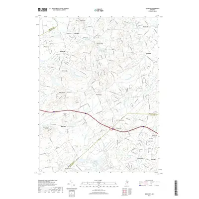
2019 Map of Roosevelt
USGS Topo · Published 2019About this map
Roosevelt and Clarksburg anchor this central New Jersey landscape where the headwaters of several major coastal and inland drainage systems begin. The terrain is marked by significant historical sites like the Old Yellow Meeting House Cem and Emleys Hill Cem, reflecting early settlement patterns in Monmouth and Ocean Counties. Waterways including Assunpink Creek, the Millstone River, and Doctors Cr radiate from the higher ground near Disbrows Hill and Pine Hill. The 2019 survey shows a network of established villages such as Perrineville, Holmeson, and Francis Mills, interspersed with wildlife areas like the Preservation Lake Wildlife area. This map details the intersection of regional thoroughfares like Monmouth Rd and Stage Coach Rd, tracing the transition from agricultural tracts to preserved natural spaces.
Find a feature on this map
54 named features on this map. Tap any name to fly to it.
Don’t see what you’re looking for? This feature index may not catch every label — zoom into the map to look around manually.
Map Details
Editions of this 2019 Roosevelt Map
This is the sole edition of this map. No revisions or reprints were ever made.
Other maps of this area

1888 · Bordentown
USGS Topo · 1:62,500

1888 · New Brunswick
USGS Topo · 1:62,500

1888 · Princeton
USGS Topo · 1:62,500

1888 · Cassville
USGS Topo · 1:62,500

1893 · Bordentown
USGS Topo · 1:62,500

1893 · New Brunswick
USGS Topo · 1:62,500

1894 · Princeton
USGS Topo · 1:62,500

1894 · Cassville
USGS Topo · 1:62,500

1900 · Cassville
USGS Topo · 1:62,500

1901 · New Brunswick
USGS Topo · 1:62,500
Featured Places
- Jackson Township, NJ
- Manalapan Township, NJ
- Freehold Township, NJ
- East Windsor Township, NJ
- Millstone Township, NJ