Loading...
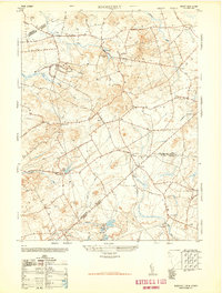
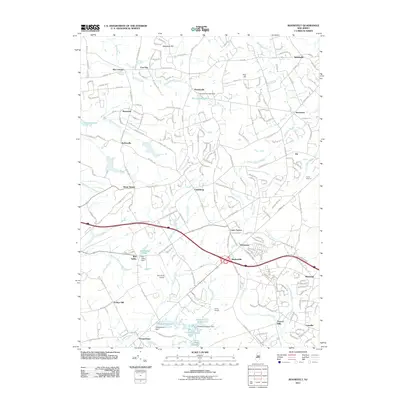
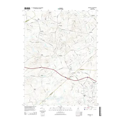
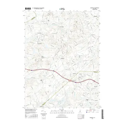
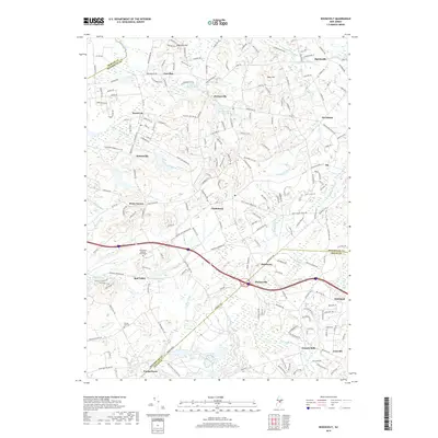
Loading map...1947 Map of Roosevelt
USGS Topo · Published 1947About this map
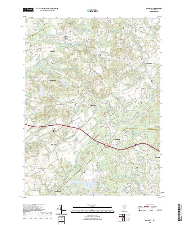
Roosevelt stands as a focal point in this landscape where the boundaries of Monmouth, Mercer, and Ocean Counties converge. Compiled from 1947 aerial photography, the map reveals a post-war rural environment defined by small crossroads settlements and agricultural infrastructure, evidenced by scattered Silo and Tanks labels. The drainage pattern is complex, with Assunpink Creek and Rocky Brook flowing westward, while the Millstone River and Manalapan Brook head north.
Find a feature on this map
44 named features on this map. Tap any name to fly to it.
Don’t see what you’re looking for? This feature index may not catch every label — zoom into the map to look around manually.
Map Details
Date Portrayed1947
Date Published1947
PublisherU.S. Geological Survey
Map TypeTopographic
Scale1:24,000
Physical Dimensions22 x 29.1 inches
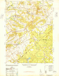
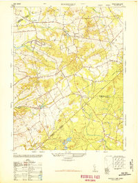
Editions of this 1947 Roosevelt Map
2 editions found
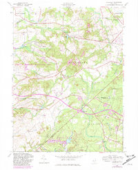
Historical Maps of Jackson Township Through Time
8 maps found
Featured Locations
- Jackson Township, NJ
- East Windsor Township, NJ
- Manalapan Township, NJ
- Millstone Township, NJ
- Freehold Township, NJ
Source Details
SourceU.S. Geological Survey
CopyrightPublic Domain