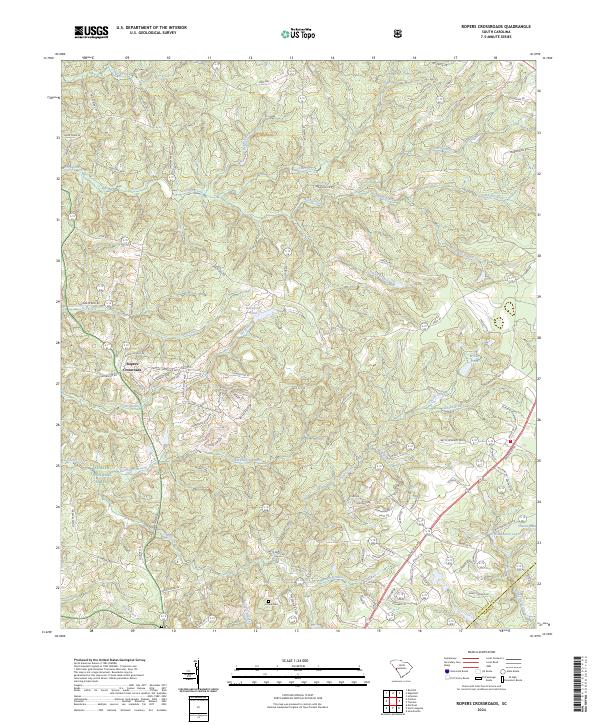
2024 Map of Ropers Crossroads
USGS Topo · Published 2024About this map
Ropers Crossroads serves as a central landmark for this portion of the South Carolina countryside, where the landscape is defined by the winding drainages of Horn Creek and Cheves Creek. The terrain transitions from the protected woodland of the Sumter National Forest in the west toward the residential developments and historic plantation lands of the east. These include namesake local features like Mount Vintage Plantation Dr and smaller family-linked locations such as Home Cem.
Find a feature on this map
106 named features on this map. Tap any name to fly to it.
Don’t see what you’re looking for? This feature index may not catch every label — zoom into the map to look around manually.
Map Details
Editions of this 2024 Ropers Crossroads Map
This is the sole edition of this map. No revisions or reprints were ever made.
Historical Maps of Aiken County Through Time
10 maps found
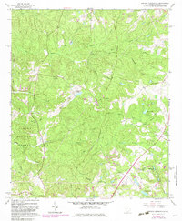
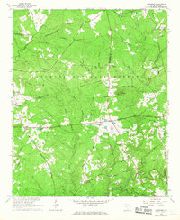
1964 Colliers
Edgefield County, SC
1964 Owdoms
Edgefield County, SC
1964 Red Hill
Edgefield County, SC
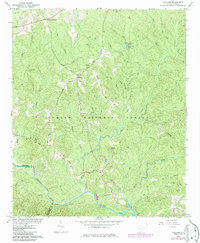
1964 Ropers Crossroads
Edgefield County, SC
1965 Limestone
Edgefield County, SC
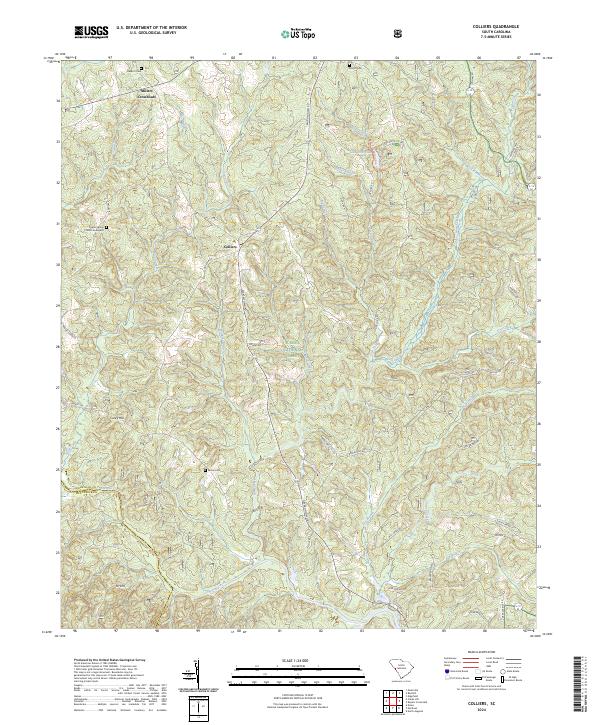
2024 Colliers
Edgefield County, SC
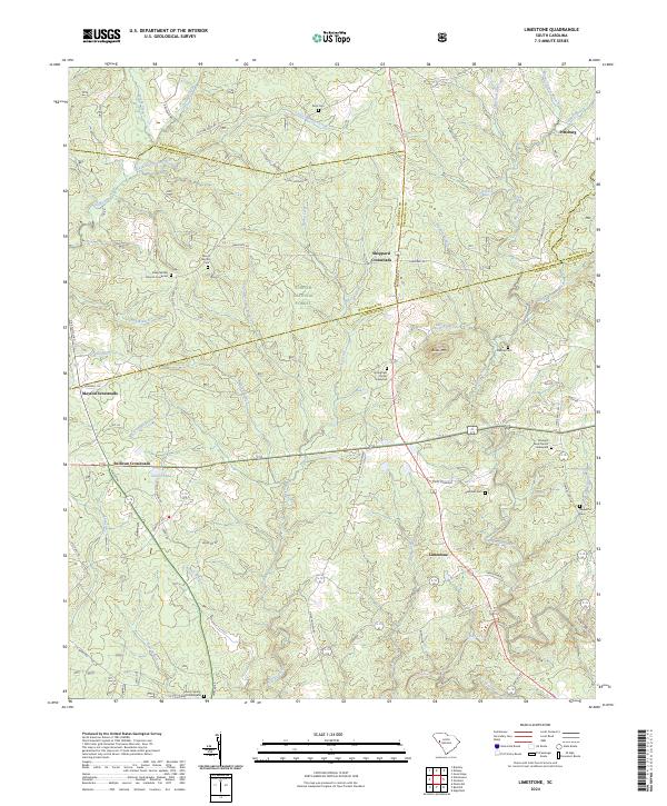
2024 Limestone
Edgefield County, SC
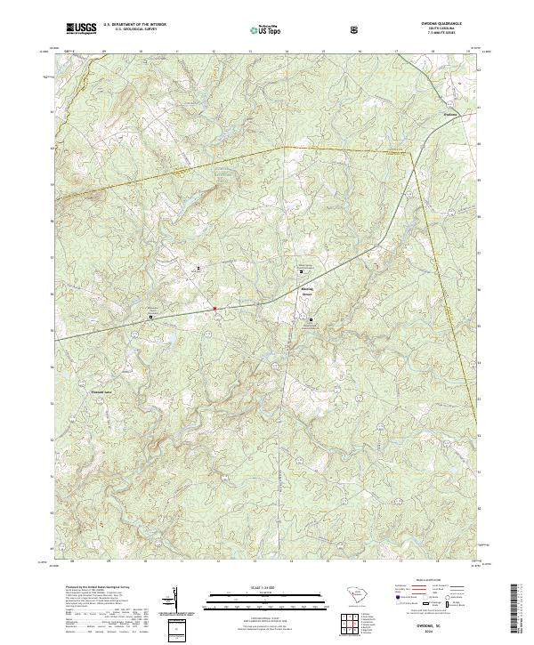
2024 Owdoms
Edgefield County, SC
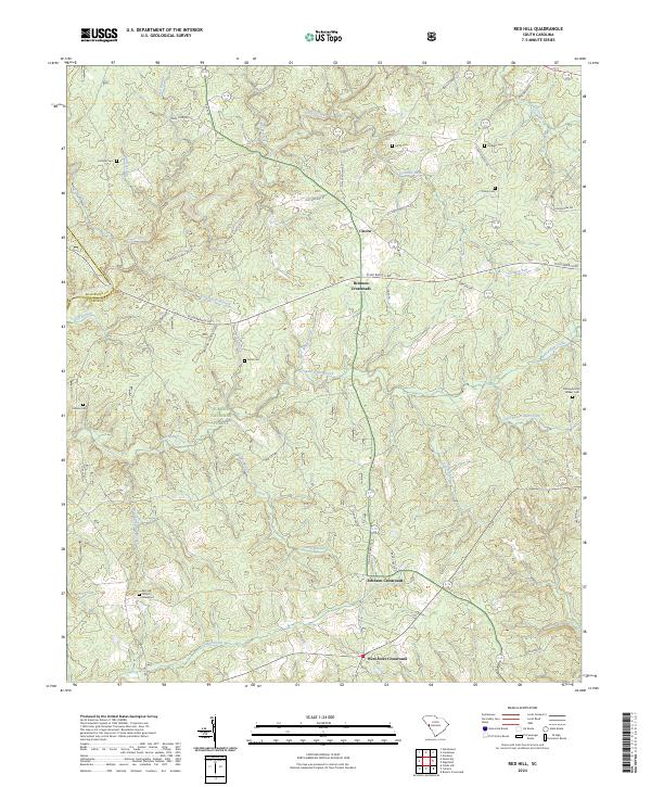
2024 Red Hill
Edgefield County, SC
2024 Ropers Crossroads
Edgefield County, SC