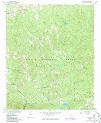
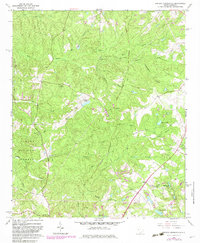
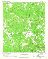
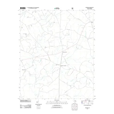
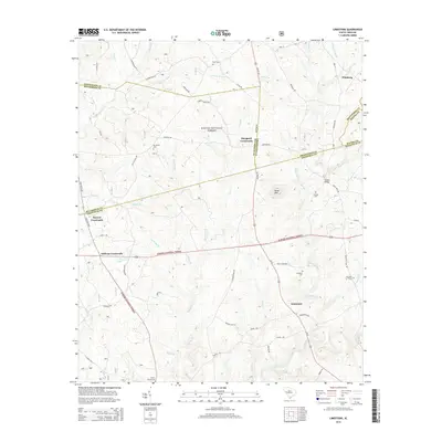
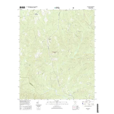
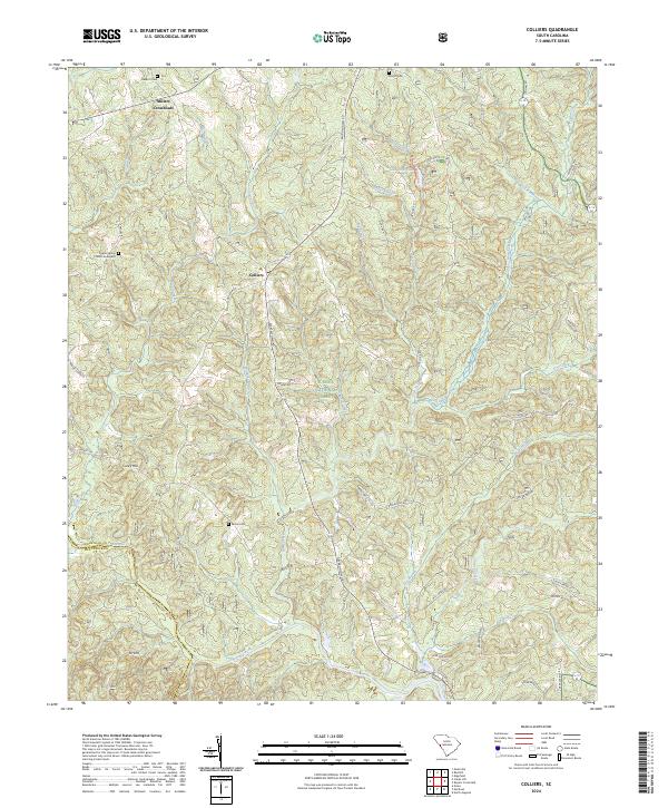
1964 Map of Colliers
USGS Topo · Published 1986About this map
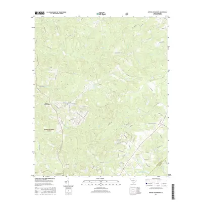
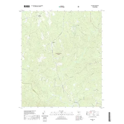
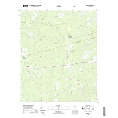
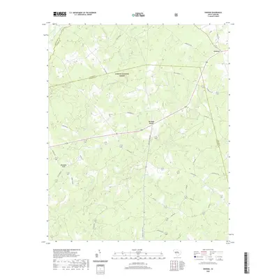
Sumter National Forest dominates this landscape, where the wooded uplands of the Piedmont meet the winding course of Stevens Creek. The area is defined by a traditional network of country roads, most notably the Old Georgia Road, which connects small rural nodes like Colliers and Millers Crossroads. Local social life is reflected in the numerous small congregations and burial grounds scattered throughout the timberlands, including Mt Zion Ch and Republican Ch. The presence of the Poplar Spring Sch and family-named landmarks like Carey Hill points to a history of settled agricultural communities that preceded the expansion of the national forest. Hydrological features such as Lick Fork Lake and the Lick Fork Recreation Area indicate the shift toward managed conservation and recreation that shaped this region by the mid-20th century.
Find a feature on this map
33 named features on this map. Tap any name to fly to it.
Don’t see what you’re looking for? This feature index may not catch every label — zoom into the map to look around manually.
Map Details
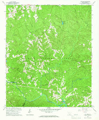
Editions of this 1964 Colliers Map
2 editions found
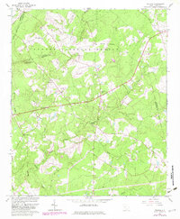
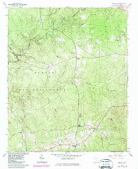
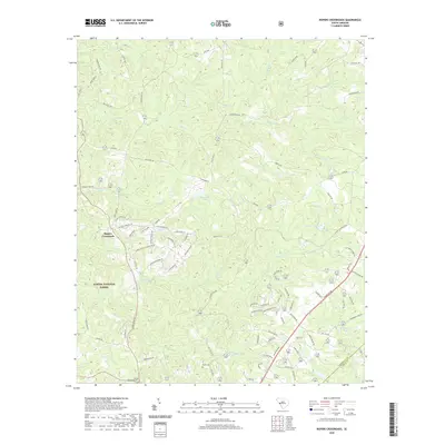
Historical Maps of Millers Crossroads Through Time
30 maps found
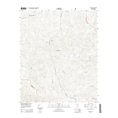
1964 Colliers
Edgefield County, SC
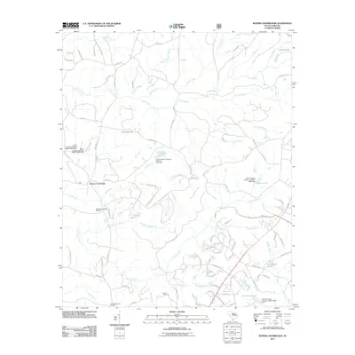
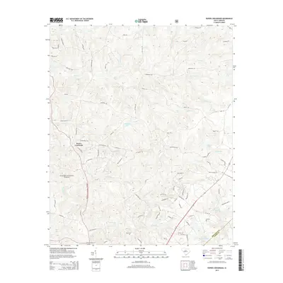
1964 Owdoms
Edgefield County, SC
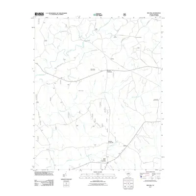
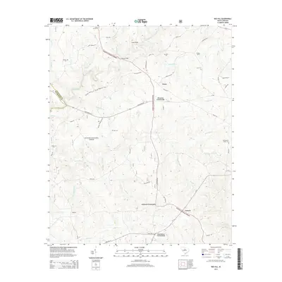
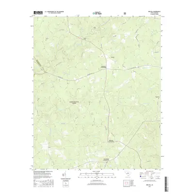
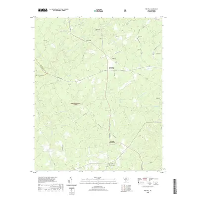
1964 Red Hill
Edgefield County, SC
1964 Ropers Crossroads
Edgefield County, SC
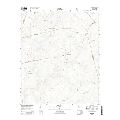
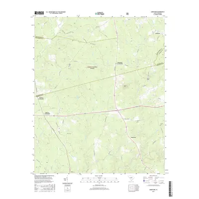
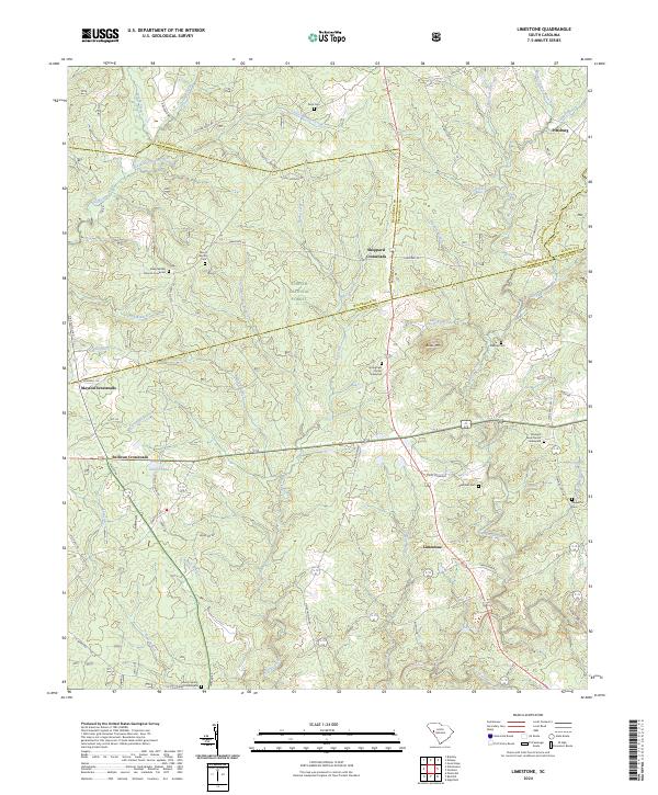
1965 Limestone
Edgefield County, SC
2011 Colliers
Edgefield County, SC
2011 Limestone
Edgefield County, SC
2011 Owdoms
Edgefield County, SC
2011 Red Hill
Edgefield County, SC
2011 Ropers Crossroads
Edgefield County, SC
2014 Colliers
Edgefield County, SC
2014 Limestone
Edgefield County, SC
2014 Owdoms
Edgefield County, SC
2014 Red Hill
Edgefield County, SC
2014 Ropers Crossroads
Edgefield County, SC
2017 Colliers
Edgefield County, SC
2017 Limestone
Edgefield County, SC
2017 Owdoms
Edgefield County, SC
2017 Red Hill
Edgefield County, SC
2017 Ropers Crossroads
Edgefield County, SC
2020 Colliers
Edgefield County, SC
2020 Limestone
Edgefield County, SC
2020 Owdoms
Edgefield County, SC
2020 Red Hill
Edgefield County, SC
2020 Ropers Crossroads
Edgefield County, SC
2024 Colliers
Edgefield County, SC
2024 Limestone
Edgefield County, SC
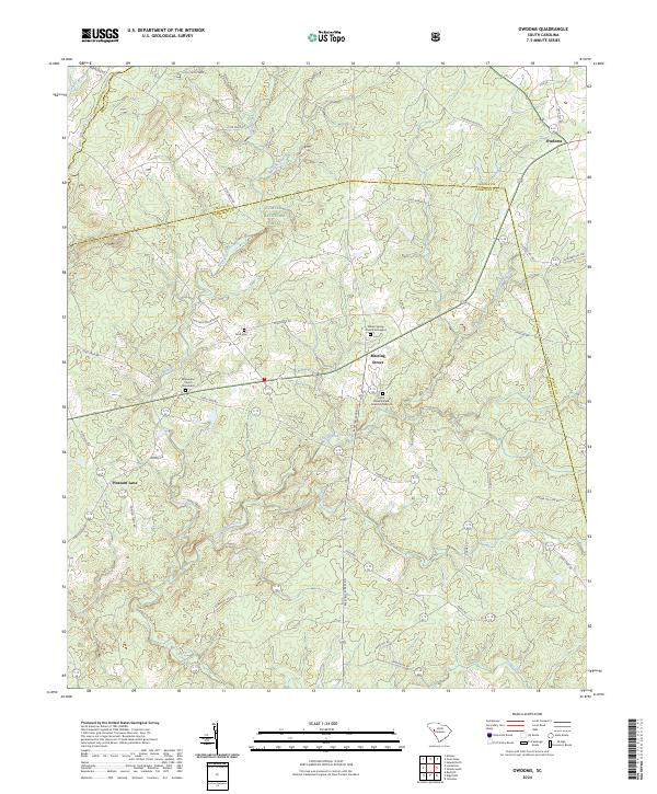
2024 Owdoms
Edgefield County, SC
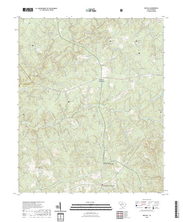
2024 Red Hill
Edgefield County, SC
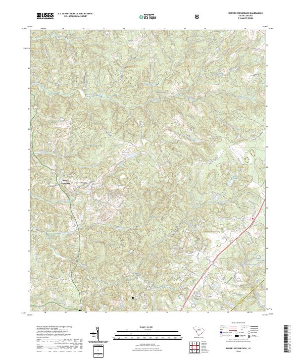
2024 Ropers Crossroads
Edgefield County, SC