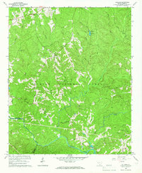
1964 Map of Colliers
USGS Topo · Published 1966About this map
Sumter National Forest dominates the landscape of this 1964 survey, where the rolling timberland of the South Carolina Piedmont is broken by a network of creeks and small family settlements. At Millers Crossroads and Colliers, the map reveals a rural economy centered on crossroads and country churches. The density of religious and burial sites, including Mt Olive Ch, Republican Ch, and Poplar Spring Cem, provides a detailed record of the social geography in Edgefield County and McCormick County during the mid-20th century.
Find a feature on this map
38 named features on this map. Tap any name to fly to it.
Don’t see what you’re looking for? This feature index may not catch every label — zoom into the map to look around manually.
Map Details
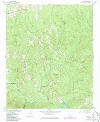
Editions of this 1964 Colliers Map
2 editions found
Other maps of this area

1892 · Mc Cormick
USGS Topo · 1:125,000

1912 · Mc Cormick
USGS Topo · 1:125,000

1920 · Clarks Hill
USGS Topo · 1:48,000

1921 · Clarks Hill
USGS Topo · 1:62,500

1923 · Warrenville
USGS Topo · 1:48,000

1928 · Warrenville
USGS Topo · 1:62,500

1941 · Clarks Hill
USGS Topo · 1:62,500

1942 · Clarks Hill
USGS Topo · 1:62,500

1943 · Warrenville
USGS Topo · 1:62,500

1953 · Athens
USGS Topo · 1:250,000