Loading...
Loading map...2021 Map of Rosedale
USGS Topo · Published 2021About this map
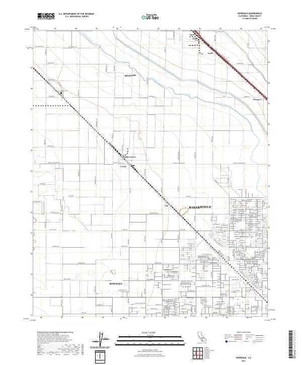
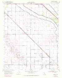
Agricultural infrastructure dominates the landscape north of Bakersfield, where a complex network of canals supports the San Joaquin Valley's productive soils. The Friant-Kern Canal and Calloway Canal slice through the terrain, illustrating the critical role of water management in this region. Smaller settlements and named junctions like Hights Corner, Crome, and Una are interspersed between larger hubs such as Rosedale and Shafter.
Find a feature on this map
119 named features on this map. Tap any name to fly to it.
Don’t see what you’re looking for? This feature index may not catch every label — zoom into the map to look around manually.
Map Details
Date Portrayed2021
Date Published2021
PublisherU.S. Geological Survey
Map TypeTopographic
Scale1:24000
Physical Dimensions24 x 29 inches
Editions of this 2021 Rosedale Map
This is the sole edition of this map. No revisions or reprints were ever made.
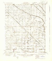
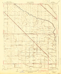
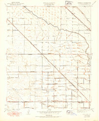
Historical Maps of Bakersfield Through Time
5 maps found
Featured Locations
Source Details
SourceU.S. Geological Survey
CopyrightPublic Domain