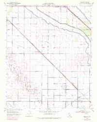
1954 Map of Rosedale
USGS Topo · Published 1976About this map
The industrial and agricultural convergence of the southern San Joaquin Valley is evident in this mid-century survey, where the Rosedale Oil Field and Fruitvale Oil Field neighbor established irrigation networks. Essential water arteries like the Friant-Kern Canal and Calloway Canal slice through the landscape, supporting a grid of rural homesteads and schools including Greeley Sch and Lerdo Sch. Transportation infrastructure defines the area's development, with the Southern Pacific and Atchison Topeka and Santa Fe railroads facilitating movement between small centers like Cawelo, Lerdo, and Rosedale. The map captures a period of transition as specialized facilities such as a Refinery, a Gravel Pit, and a local Landing Strip appear alongside traditional farm roads and the Shafter Cem.
Find a feature on this map
35 named features on this map. Tap any name to fly to it.
Don’t see what you’re looking for? This feature index may not catch every label — zoom into the map to look around manually.
Map Details
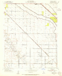
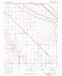
Editions of this 1954 Rosedale Map
3 editions found
Other maps of this area

1906 · Bakersfield
USGS Topo · 1:62,500

1910 · Buena Vista Lake
USGS Topo · 1:125,000

1912 · Buena Vista Lake
USGS Topo · 1:125,000

1929 · Stevens
USGS Topo · 1:31,680

1929 · Coles Levee
USGS Topo · 1:31,680

1930 · Wasco
USGS Topo · 1:31,680

1930 · Famoso
USGS Topo · 1:31,680

1930 · Rosedale
USGS Topo · 1:31,680

1930 · Oildale
USGS Topo · 1:31,680

1931 · Rio Bravo
USGS Topo · 1:31,680