
1931 Map of Rio Bravo
USGS Topo · Published 1931About this map
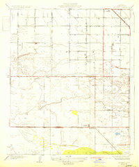
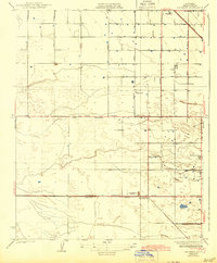
Kern County's agricultural and industrial development is evident in this early 1930s landscape, where the town of Shafter sits at the intersection of a growing rail and road network. The map reveals a transition from the structured grid of the north to the more irregular terrain in the south. The presence of an Oil Pumping Station and a Power Transmission Line signifies the era's energy infrastructure, while rural community life is anchored by locations like the Rio Bravo Store, Rio Bravo Sch, and Poplar Sch. Transportation is a primary theme, with the Southern Pacific tracks and the Mc Kittrick Bakersfield Highway providing critical links for the region's produce and resources. Numerous named avenues, such as Magnolia Avenue and Palm Avenue, indicate the systematic subdivision of the Central Valley for farming and ranching during this period of expansion.
Find a feature on this map
20 named features on this map. Tap any name to fly to it.
Don’t see what you’re looking for? This feature index may not catch every label — zoom into the map to look around manually.
Map Details
Editions of this 1931 Rio Bravo Map
3 editions found
Other maps of this area

1910 · Buena Vista Lake
USGS Topo · 1:125,000

1912 · Buena Vista Lake
USGS Topo · 1:125,000

1929 · Stevens
USGS Topo · 1:31,680

1929 · Coles Levee
USGS Topo · 1:31,680

1930 · Leonards
USGS Topo · 1:31,680

1930 · Wasco
USGS Topo · 1:31,680

1930 · Famoso
USGS Topo · 1:31,680

1930 · Rosedale
USGS Topo · 1:31,680

1932 · East Elk Hills
USGS Topo · 1:31,680
1932 · Stevens
USGS Topo · 1:31,680