
1930 Map of Leonards
USGS Topo · Published 1930About this map
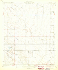
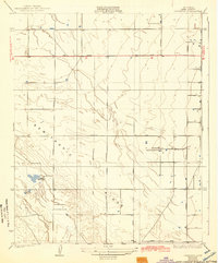
The agricultural and recreational landscape of the San Joaquin Valley is meticulously documented in this 1927 survey, conducted under Governor C.C. Young. The terrain is defined by the subtle rise of the Semitropic Ridge and the winding course of Jerry Slough. At this time, the region supported specialized activities evidenced by the Falcon Fliers Club near Leonards, alongside established sporting sites like the Porterville Gun Club and Sicarte Gun Club.
Find a feature on this map
18 named features on this map. Tap any name to fly to it.
Don’t see what you’re looking for? This feature index may not catch every label — zoom into the map to look around manually.
Map Details
Editions of this 1930 Leonards Map
3 editions found
Other maps of this area

1910 · Buena Vista Lake
USGS Topo · 1:125,000

1912 · McKittrick
USGS Topo · 1:125,000

1912 · Buena Vista Lake
USGS Topo · 1:125,000

1914 · Lost Hills
USGS Topo · 1:125,000

1927 · Semitropic
USGS Topo · 1:31,680

1930 · Hamlin School
USGS Topo · 1:31,680

1930 · Wasco
USGS Topo · 1:31,680

1930 · Pond
USGS Topo · 1:31,680

1930 · Miramonte Ranch
USGS Topo · 1:31,680

1931 · Rio Bravo
USGS Topo · 1:31,680