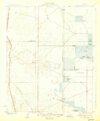
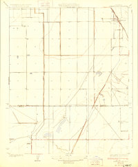
1930 Map of Miramonte Ranch
USGS Topo · Published 1930About this map
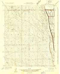
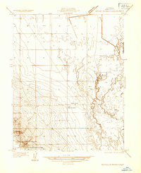
Miramonte Ranch and a dense network of private sporting clubs anchor this 1930s landscape in the southern San Joaquin Valley. The terrain is defined by the Semitropic Ridge, where the local water management is evidenced by the Goose Lake Canal and a Water Pumping Station. A notable archaeological feature, the Indian Burial Mound, sits near the intersection of several property lines, indicating the area's deeper history prior to agricultural development.
Find a feature on this map
24 named features on this map. Tap any name to fly to it.
Don’t see what you’re looking for? This feature index may not catch every label — zoom into the map to look around manually.
Map Details
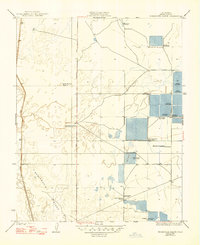
Editions of this 1930 Miramonte Ranch Map
2 editions found
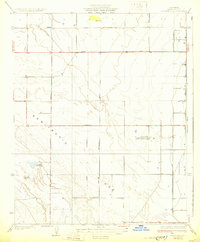
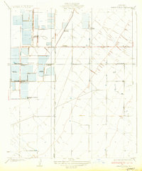
Other maps of this area

1914 · Lost Hills
USGS Topo · 1:125,000
1927 · Semitropic
USGS Topo · 1:31,680
1929 · Hacienda Ranch
USGS Topo · 1:31,680
1929 · Allensworth
USGS Topo · 1:31,680
1930 · Leonards
USGS Topo · 1:31,680
1930 · Hamlin School
USGS Topo · 1:31,680
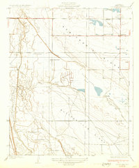
1931 · Goose Lake
USGS Topo · 1:31,680
1932 · West of Goose Lake
USGS Topo · 1:31,680
1932 · Reynolds Ranch
USGS Topo · 1:31,680

1932 · Lone Tree Well
USGS Topo · 1:31,680