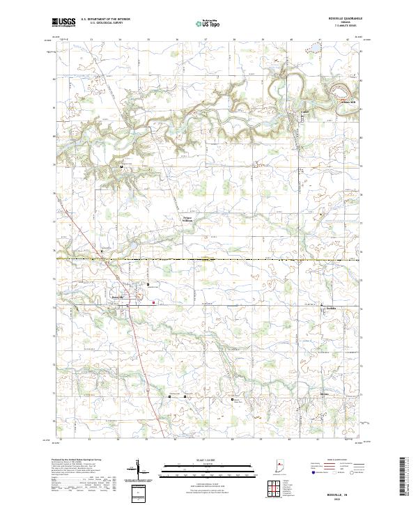
1961 Map of Rossville
USGS Topo · Published 1962About this map
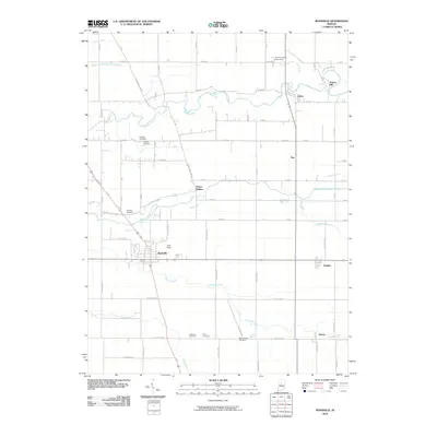
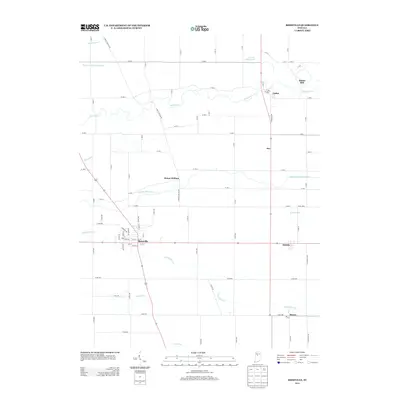
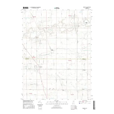
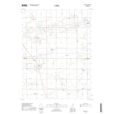
Wildcat Creek and its tributaries carve a winding path through this agricultural landscape on the border of Carroll and Clinton Counties. The era's transportation network is anchored by the Monon and Pennsylvania railroad lines, which connect the rural hubs of Rossville, Sedalia, and Moran. Near the village of Cutler, the historic Adams Mill stands along the creek, while the surrounding townships of Madison, Democrat, Ross, and Owen are dotted with small family and community landmarks. Genealogists will find several burial grounds, including Mt Hope Cem, Hufford Cem, and Latshaw Cem, alongside local institutions like Mt Olivet Ch and the Township Sch. The topography reveals a mix of managed farmland and active industry, evidenced by the scattered Gravel Pits and utility infrastructure like the Substation and Storage Bins near the rail sidings.
Find a feature on this map
31 named features on this map. Tap any name to fly to it.
Don’t see what you’re looking for? This feature index may not catch every label — zoom into the map to look around manually.
Map Details
Editions of this 1961 Rossville Map
2 editions found
Historical Maps of Rossville Through Time
6 maps found