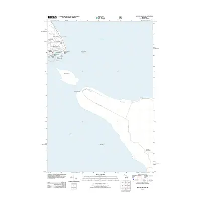
2011 Map of Round Island
USGS Topo · Published 2011About this map
Fort Mackinac and Fort Holmes command the high ground of this island landscape, overlooking the strategic waters of Lake Huron. The settlement at Mackinac Island is detailed with its concentration of civic and maritime infrastructure, including the Mackinac Island Post Office and navigational aids like the East Breakwater Light and West Breakwater Light. Genealogy researchers will find several significant burial grounds, from the Mackinac Island Cemetery and Saint Anns Cemetery to the military Fort Mackinac Post Cemetery.
Find a feature on this map
37 named features on this map. Tap any name to fly to it.
Don’t see what you’re looking for? This feature index may not catch every label — zoom into the map to look around manually.
Map Details
Editions of this 2011 Round Island Map
This is the sole edition of this map. No revisions or reprints were ever made.
Other maps of this area

1931 · St Ignace NW
USGS Topo · 1:31,680

1932 · St Ignace NE
USGS Topo · 1:31,680

1955 · Cheboygan
USGS Topo · 1:250,000

1957 · Cheboygan
USGS Topo · 1:62,500

1957 · Mullett Lake
USGS Topo · 1:62,500

1958 · Cheboygan
USGS Topo · 1:250,000

1964 · Round Island
USGS Topo · 1:24,000
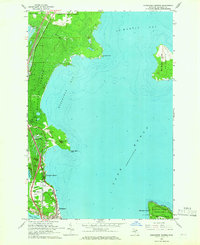
1964 · Evergreen Shores
USGS Topo · 1:24,000
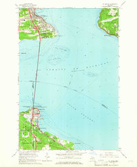
1964 · St. Ignace
USGS Topo · 1:24,000
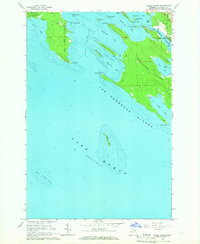
1964 · Goose Island
USGS Topo · 1:24,000
Featured Places
- Mackinac Island, MI
- Bois Blanc Township, MI
- Fort Mackinac, Mackinac Island
- Mackinac County, MI
- United States