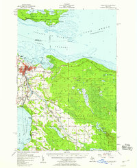
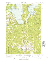
1957 Map of Cheboygan
USGS Topo · Published 1958About this map
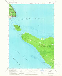
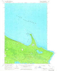
Cheboygan serves as the focal point for this mid-century survey, situated where the Cheboygan River meets the Straits of Mackinac. The town is a vital hub for northern Michigan's water-and-rail commerce, anchored by the Detroit and Mackinac and New York Central railroads. The landscape transitions from the urbanized riverfront with its waterworks and lighthouse to the dense timberlands of the Black Lake State Forest.
Find a feature on this map
66 named features on this map. Tap any name to fly to it.
Don’t see what you’re looking for? This feature index may not catch every label — zoom into the map to look around manually.
Map Details
Editions of this 1957 Cheboygan Map
3 editions found
Other maps of this area

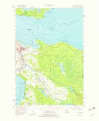
1955 · Cheboygan
USGS Topo · 1:250,000
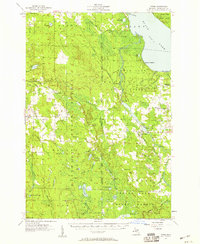
1957 · Tower
USGS Topo · 1:62,500
1957 · Wolverine
USGS Topo · 1:62,500
1957 · Mullett Lake
USGS Topo · 1:62,500
1957 · Onaway
USGS Topo · 1:62,500

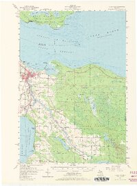
1958 · Cheboygan
USGS Topo · 1:250,000
1958 · Grace
USGS Topo · 1:62,500
1964 · Round Island
USGS Topo · 1:24,000
1964 · McRae Bay
USGS Topo · 1:24,000

1982 · Petoskey
USGS Topo · 1:100,000