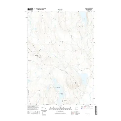
2014 Map of Round Lake
USGS Topo · Published 2014About this map
The East Machias River winds through this section of Washington County, defining a landscape of interconnected water bodies and timber access routes. During this early 21st-century period, the area is characterized by its complex hydrology, featuring numerous lakes such as Long Lake, Round Lake, and Love Lake. The presence of Great Meadow Riffles and Munson Rips along the river indicates the traditional natural flow and elevation changes of these Maine waterways.
Find a feature on this map
48 named features on this map. Tap any name to fly to it.
Don’t see what you’re looking for? This feature index may not catch every label — zoom into the map to look around manually.
Map Details
Editions of this 2014 Round Lake Map
This is the sole edition of this map. No revisions or reprints were ever made.
Other maps of this area
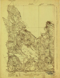
1929 · Calais
USGS Topo · 1:48,000
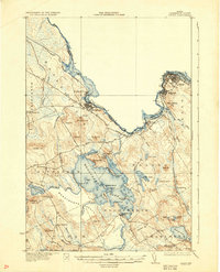
1932 · Calais
USGS Topo · 1:62,500
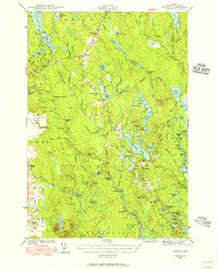
1941 · Wesley
USGS Topo · 1:62,500
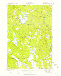
1941 · Gardner Lake
USGS Topo · 1:62,500
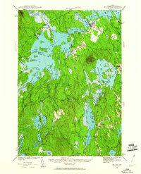
1941 · Big Lake
USGS Topo · 1:62,500
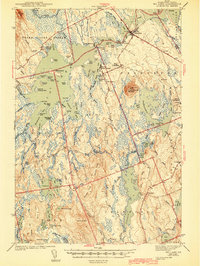
1943 · Big Lake
USGS Topo · 1:62,500
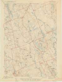
1943 · Wesley
USGS Topo · 1:62,500
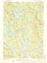
1943 · Gardner Lake
USGS Topo · 1:62,500
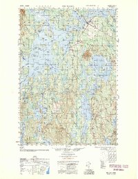
1952 · Big Lake
USGS Topo · 1:50,000
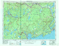
1957 · Fredericton
USGS Topo · 1:250,000